
Living in West Don Lands
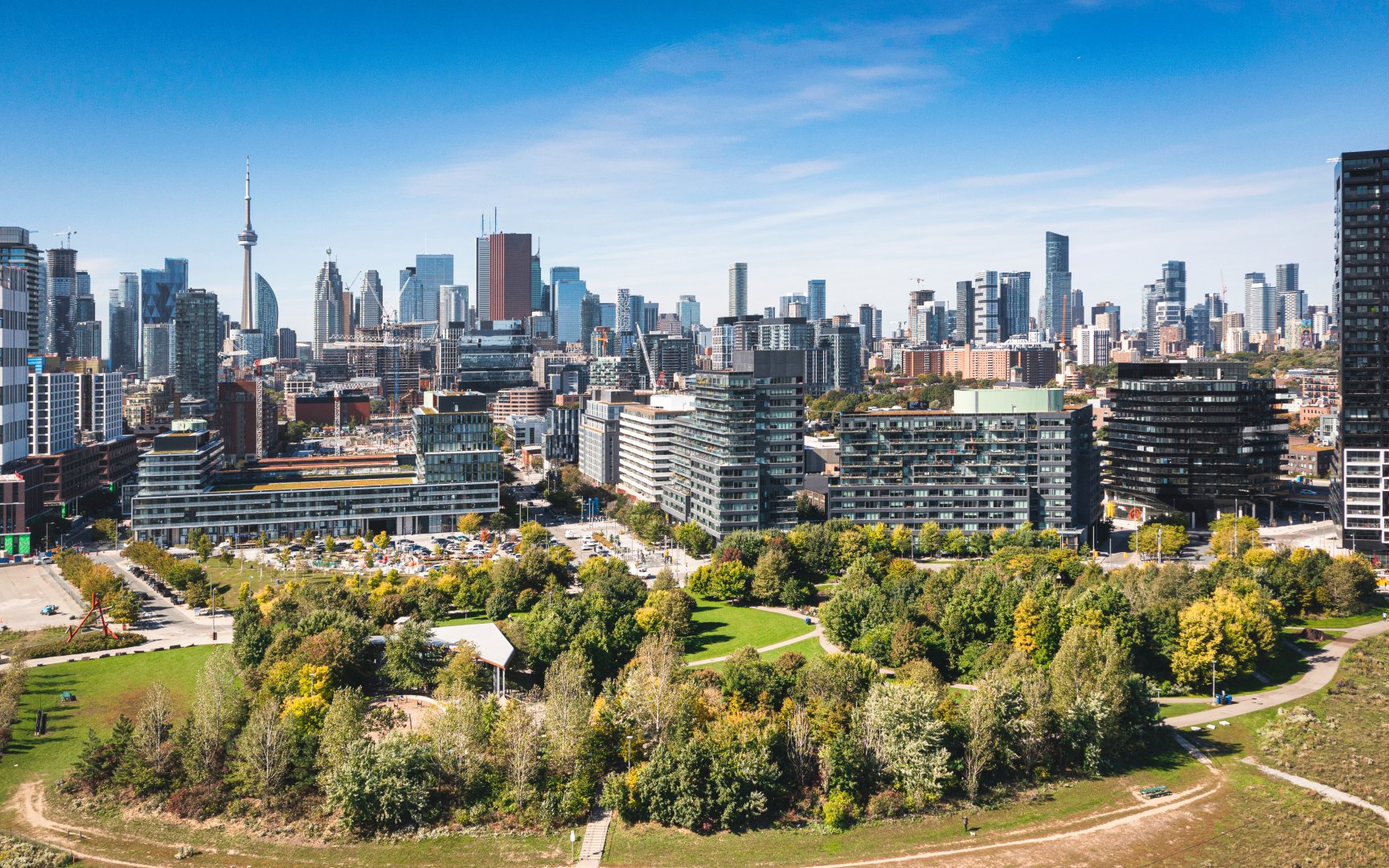
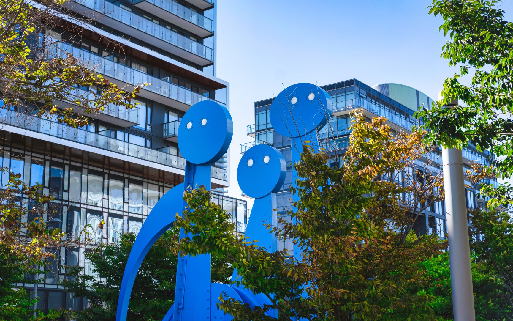
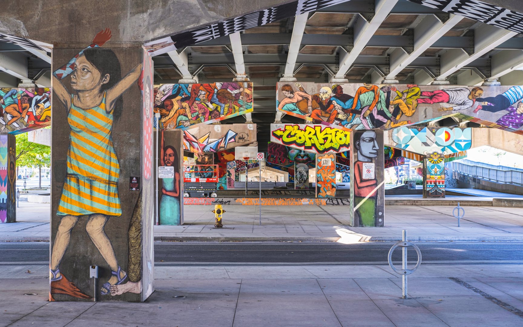
The thoughtfully planned neighbourhood of West Don Lands represents a product of contemporary urban planning. With a substantial focus on sustainability and design, West Don Lands has become an example of a functional innovative community representing the future of Toronto’s development landscape. Influenced by European cities, the movement strategy of pedestrians, cyclists and motorists has been utilized to enhance the neighbourhood streets. Unique to West Don Lands, find the incorporation of various public art installations across the neighbourhood highlighting a range of themes from Indigenous art to human, natural and industrial history. West Don Lands appeals to those of all ages who value downtown core proximity and a vibrant community atmosphere.
Corktown Commons (c) Photo by SHANE Maps exclusively for SHANE Maps
Front St E (c) Photo by SHANE Maps exclusively for SHANE Maps
Front St E (c) Photo by SHANE Maps exclusively for SHANE Maps
History of West Don Lands
Beginning as a booming commercial and industrial hub, the neighbourhood of West Don Lands faced many decades of decline and neglect throughout the late 20th century. In 2001, efforts began to revitalize and redevelop the region. The government commissioned WATERFRONToronto to concentrate efforts on restoring the community and bringing it back to its once-thriving identity. Under the direction to position government-owned land as attractive for developers, WATERFRONToronto also managed the building of infrastructure to encourage investor stimulation. In 2006, a plan was officially revealed after approval from the Toronto City Council to develop a residential community within the West Don Lands area. Of the almost 6,000 new residential spaces, it was pledged that 20% of the total units were to be allocated as affordable or subsidized housing. The design plans for the planned development received positive feedback, awarding West Don Lands with the Toronto Urban Design Award of Excellence in the Vision and Master Plan category. In 2015, the newly developed community was proudly the host site for the Pan Am/Parapan Am Games athletes, later converted into condominiums and residences for nearby George Brown College.
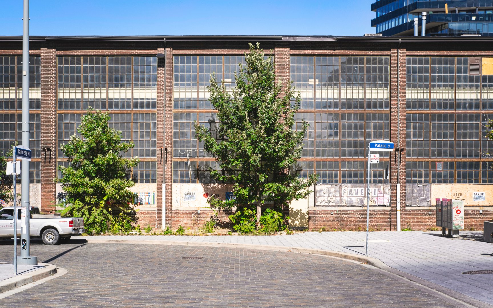
The Foundry (c) Photo by SHANE Maps exclusively for SHANE Maps
Homes in West Don Lands
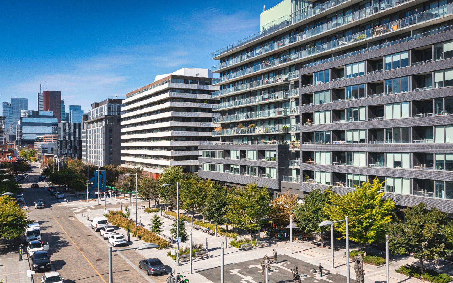
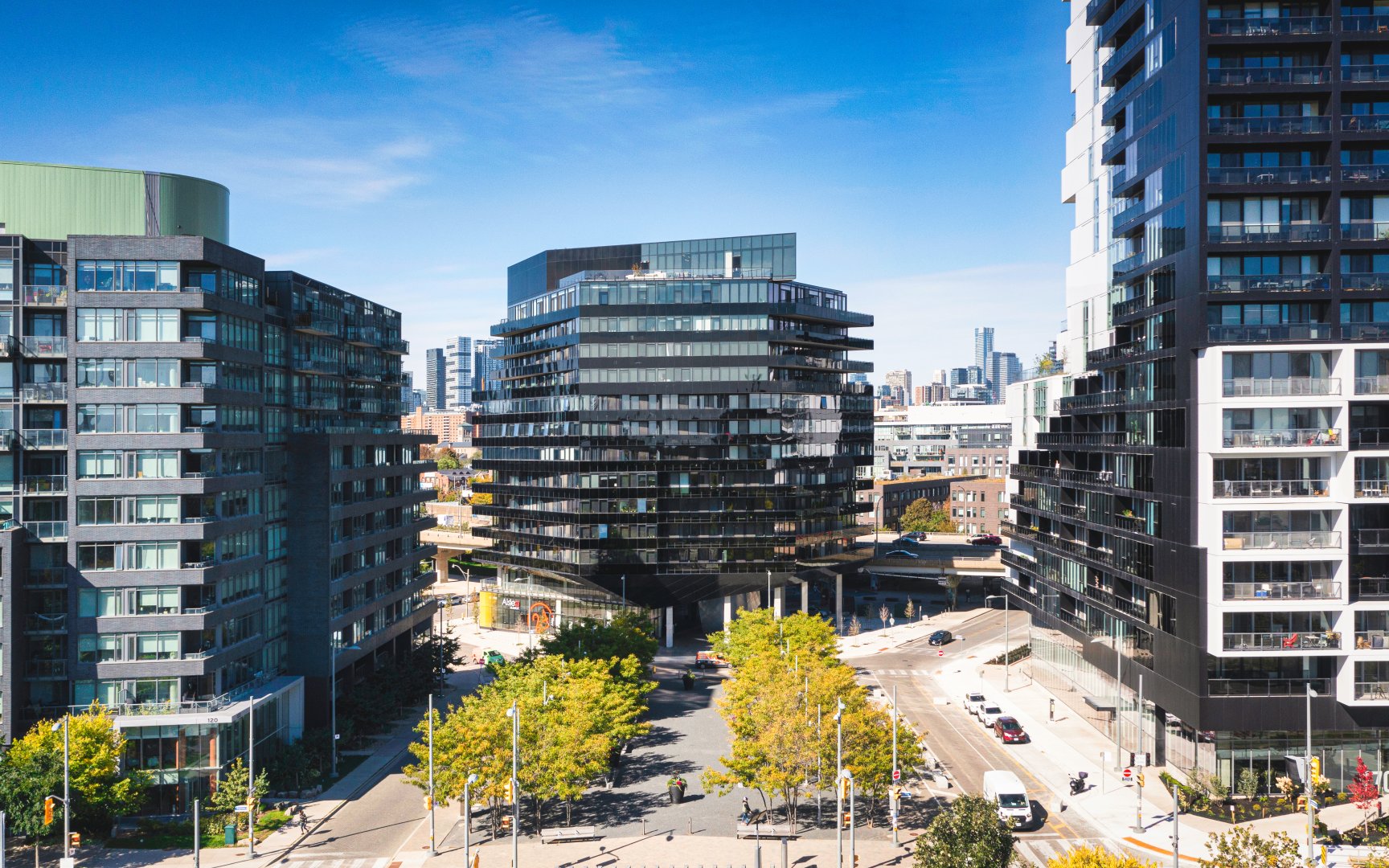
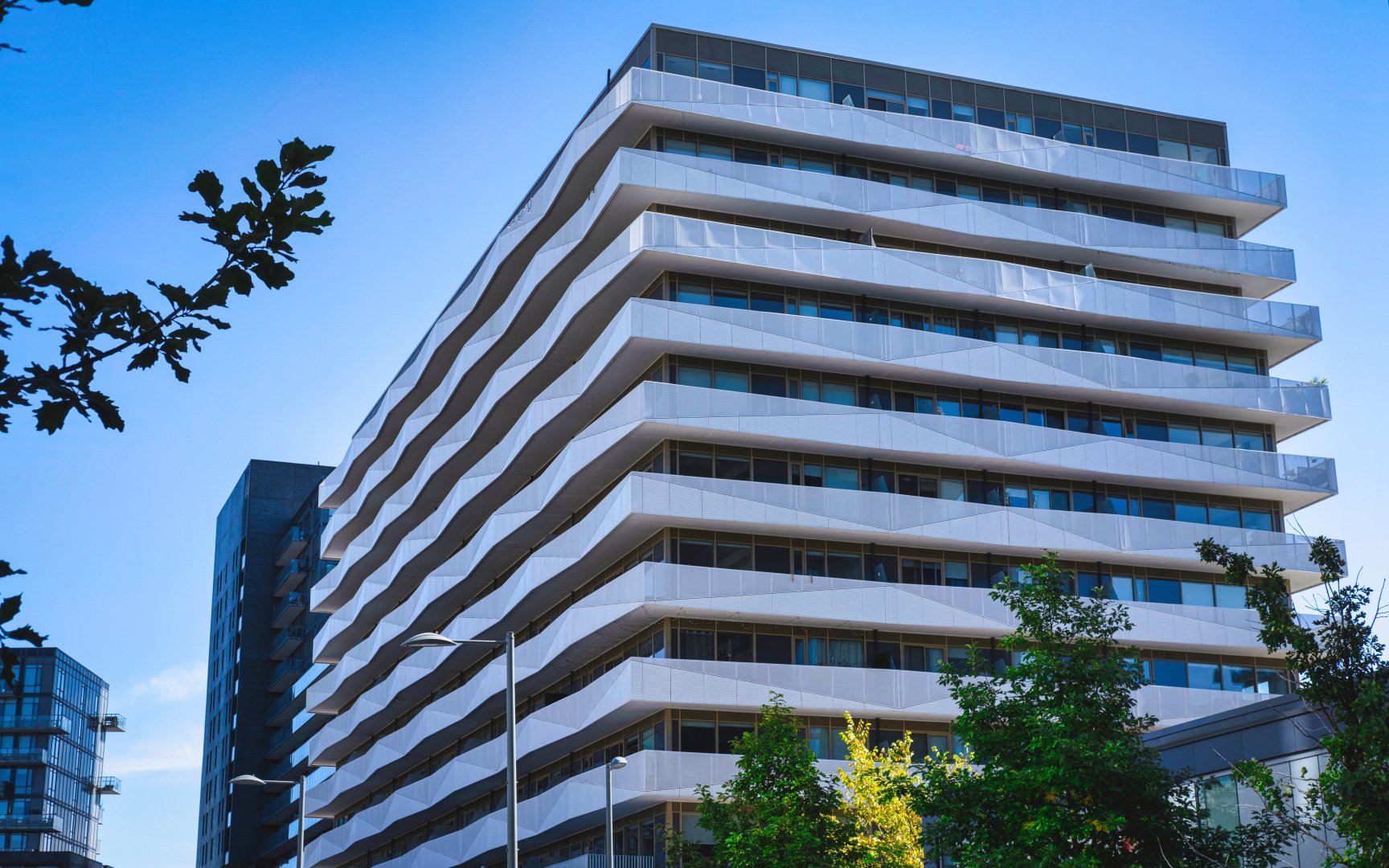
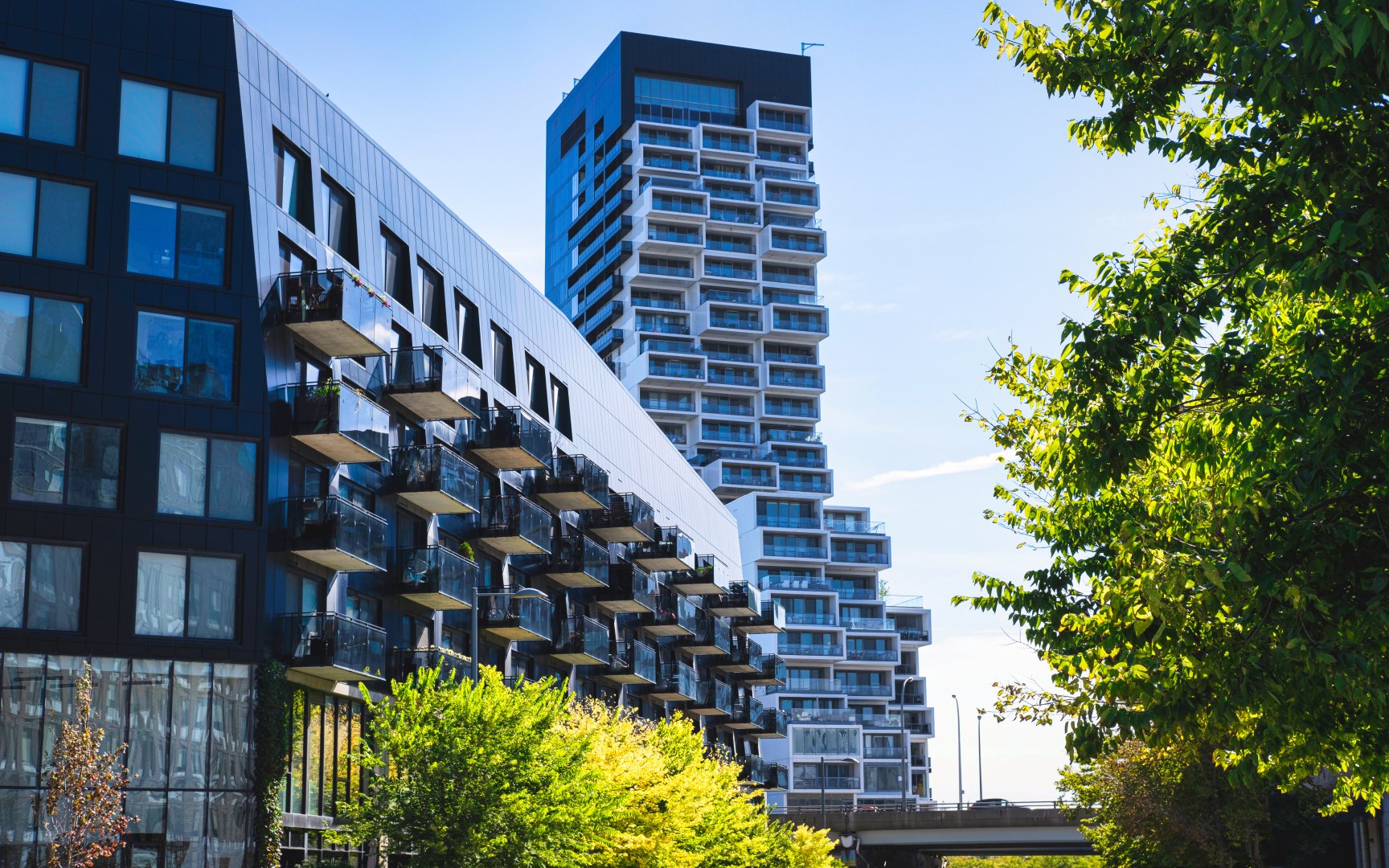
With West Don Lands being a relatively newer community, find a large portion of new construction and pre-construction condominium buildings, most of which are classified as mid-rise buildings with between five and twelve floors. Typically built of glass, steel and grey limestone, the style of West Don Land construction appeals to those interested in cohesive and sleek contemporary finishes. Canary Block Condominiums represent typical West Don Lands architecture. With 12 stories and 185 units, this midrise new construction building offers spacious balconies and boasts incredible walk, bike, and transit scores.
This lack of high-rise buildings contributes to the neighbourhood’s communal feel as the landscape represents a less dense urban core. Throughout the neighbourhood find numerous townhome clusters intertwined throughout the midrise condominium buildings. The properties among West Don Lands attract residents of all demographics as the community offers wide appeal based on location and atmosphere.
Lawren Harris Square (c) Photo by SHANE Maps exclusively for SHANE Maps
Canary Block (c) Photo by SHANE Maps exclusively for SHANE Maps
River St (c) Photo by SHANE Maps exclusively for SHANE Maps
Mill St (c) Photo by SHANE Maps exclusively for SHANE Maps
Lifestyle in West Don Lands
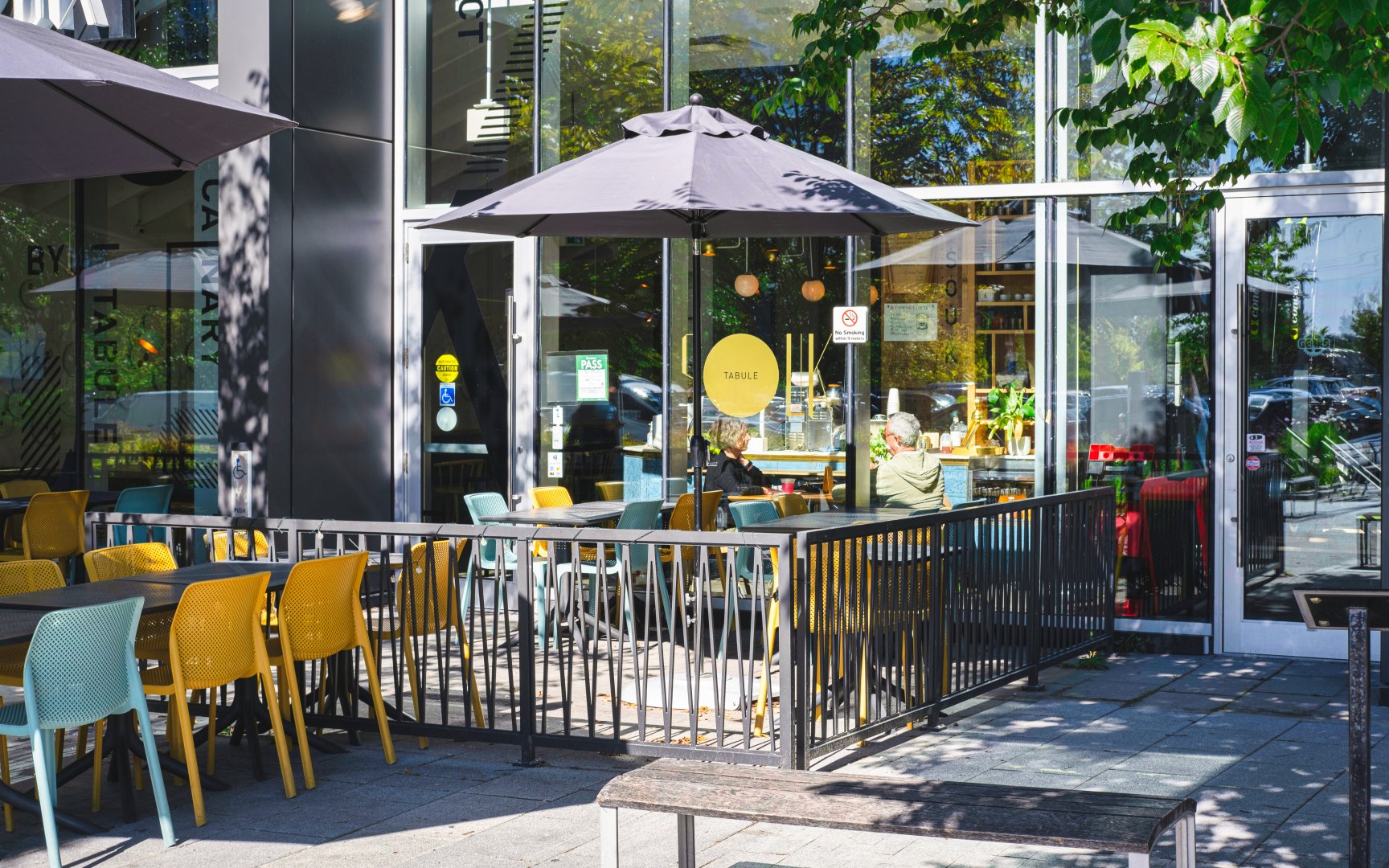
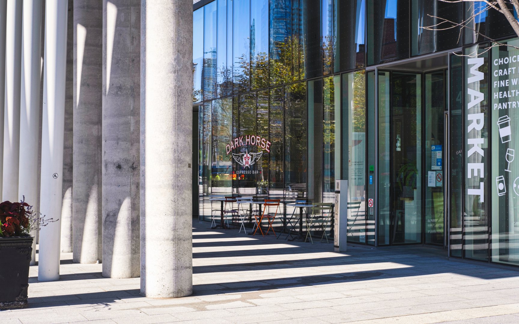
Life in West Don Lands can be described as vibrant, innovative and community oriented. Within West Don Lands, find a collection of unique restaurants scattered along Front Street East, ranging from authentic cuisines to trendy brewpubs. A neighbourhood favourite, Souk Tabule, specializes in fresh, flavourful Lebanese dishes served in a warm and inviting atmosphere. Due to West Don Lands’ prime location bordering some of Eastern Toronto’s trendiest neighbourhoods, residents enjoy a cumulation of the surrounding region’s hottest restaurants, chic boutiques, and popular bars. Living in West Don Lands enjoy the ideal fusion of recreational offerings, fine dining, downtown proximity, and waterfront living all bundled within strategic contemporary urban planning.
Front St E (c) Photo by SHANE Maps exclusively for SHANE Maps
Front St E (c) Photo by SHANE Maps exclusively for SHANE Maps
Recreation in West Don Lands
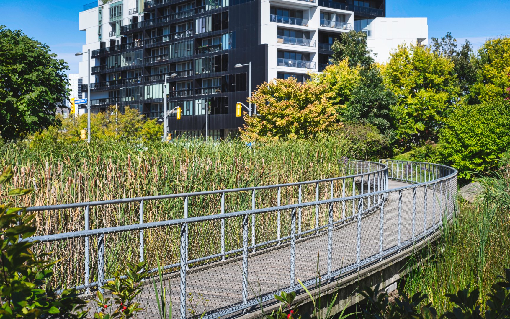
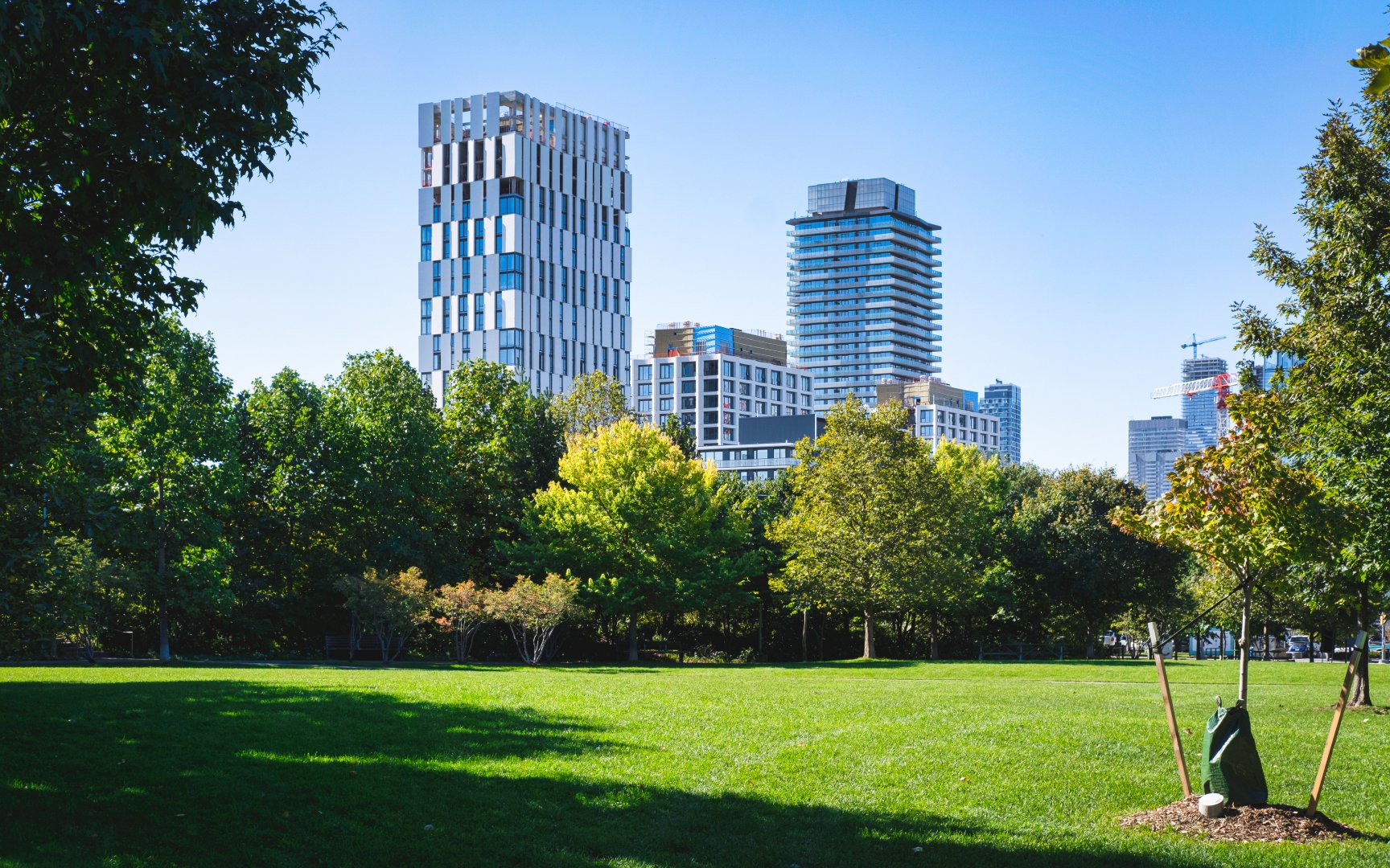
Along the eastern border of West Don Lands, residents have direct access to the Lower Don Recreational Trail. Following the Don River, the trail runs both north towards the popular Evergreen Brick Works and south towards Lake Ontario and the Toronto Waterfront. Another popular recreational spot in West Don Lands is the Corktown Common. Located in the east of the neighbourhood, this 18-acre park houses various community amenities including a playground, picnic areas, a dog park, trails, and a park pavilion.
Proudly a part of the Blue Edge revitalization project for Toronto’s waterfront, the neighbourhood features various parks and trails connecting its residents to the outdoors. The Blue Edge revitalization project is North America’s largest urban redevelopment project and one of the world’s largest waterfront revitalization efforts. Pledging to transform 2000 acres into usable, sustainable public spaces, West Don Lands is an active partner in this project through the redevelopment of its public spaces specifically those bordering Toronto’s waterfront.
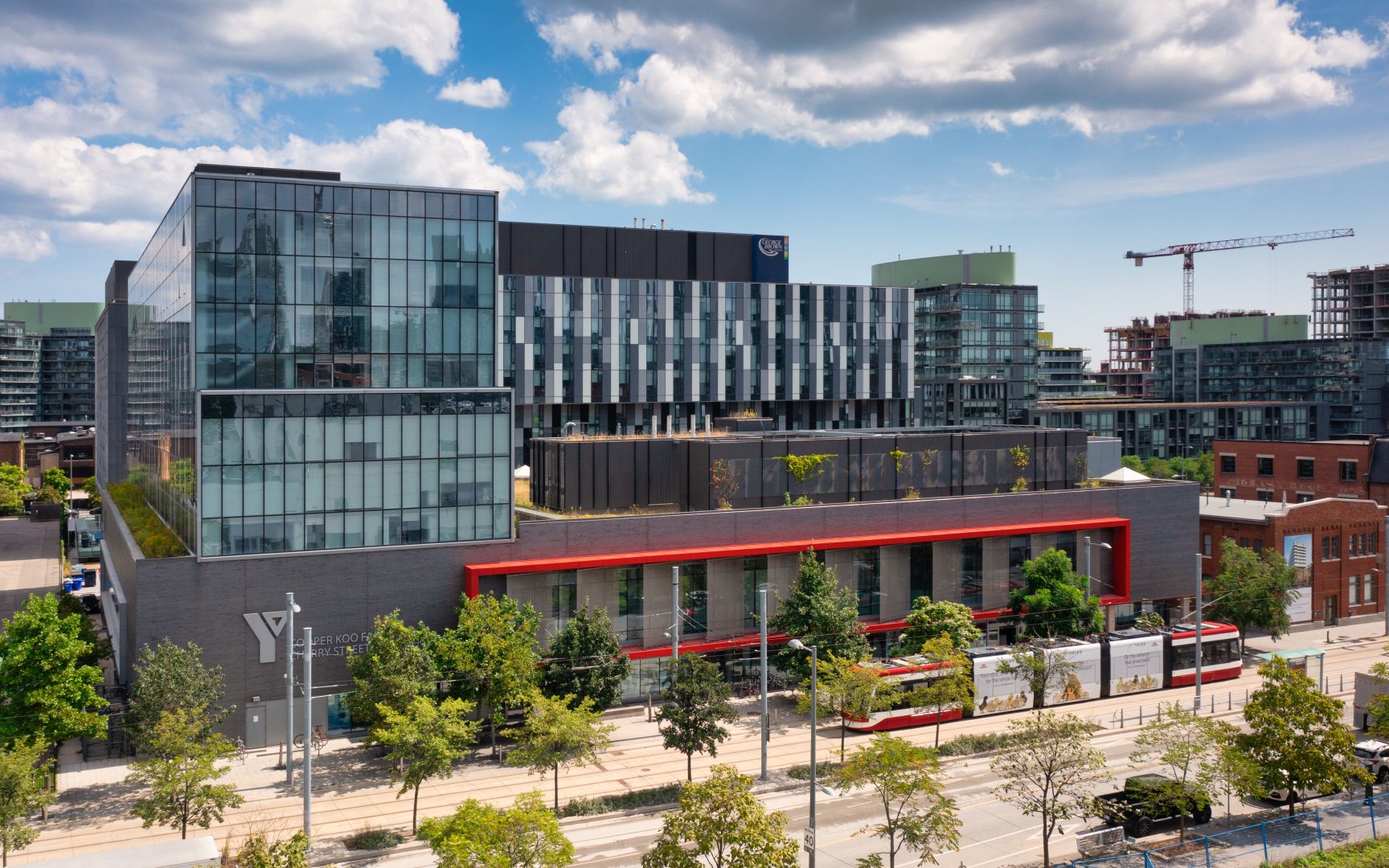
Beyond the parks and trails, the neighbourhood also offers a community recreation centre located at 461 Cherry Street. The Cooper Koo Family YMCA spans 82,000 square feet and offers a fully accessible facility. With communal offerings for all, residents of the neighbourhood enjoy access to an array of amenities including two pools, an indoor track, a full gym, a green roof, a cycling studio, and a kid’s play area.
Corktown Commons (c) Photo by SHANE Maps exclusively for SHANE Maps
Corktown Commons (c) Photo by SHANE Maps exclusively for SHANE Maps
Underpass Park (c) Photo by SHANE Maps exclusively for SHANE Maps
Cooper Koo Family YMCA (c) Photo by SHANE Maps exclusively for SHANE Maps
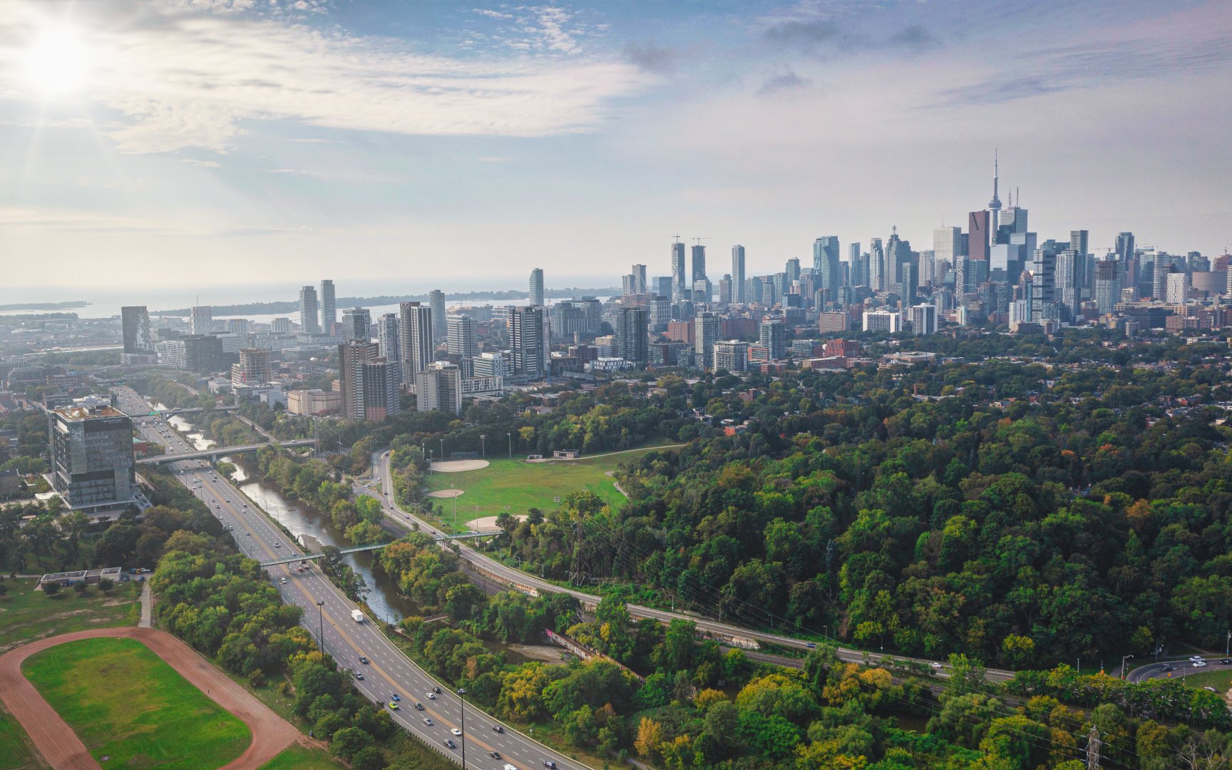
Transportation in West Don Lands
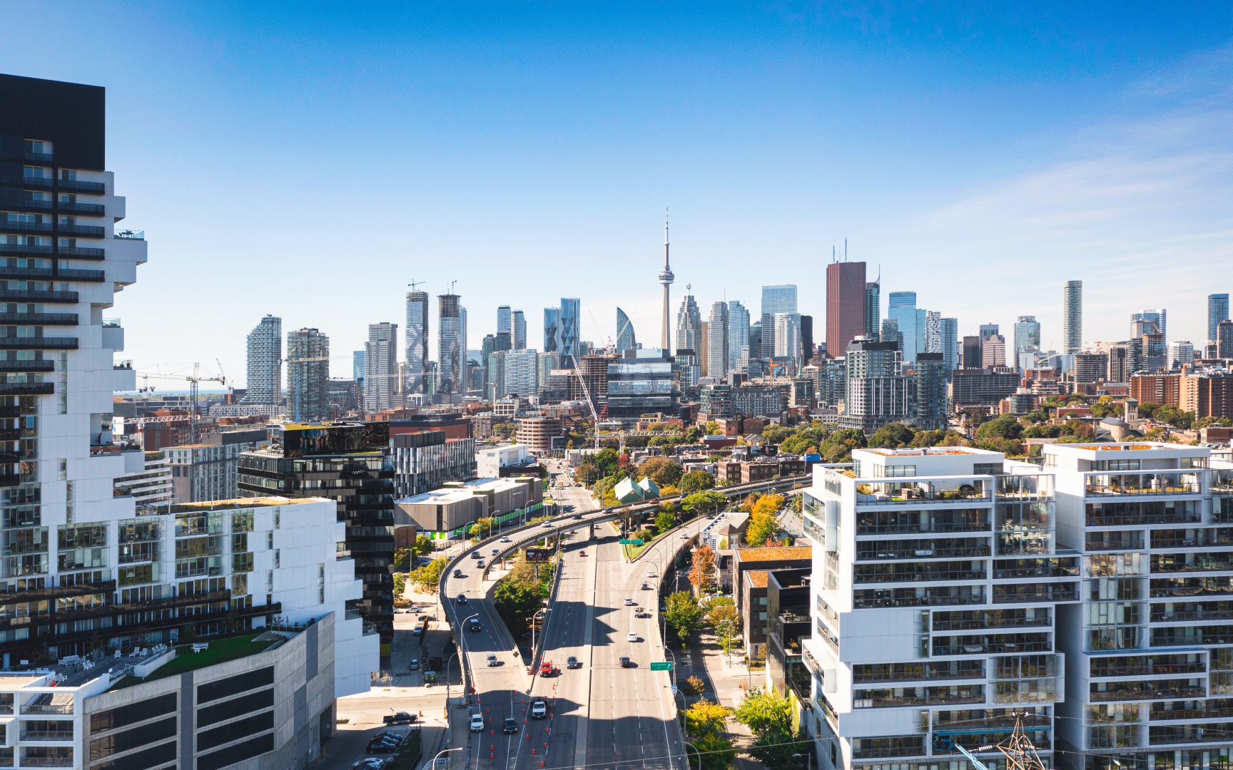
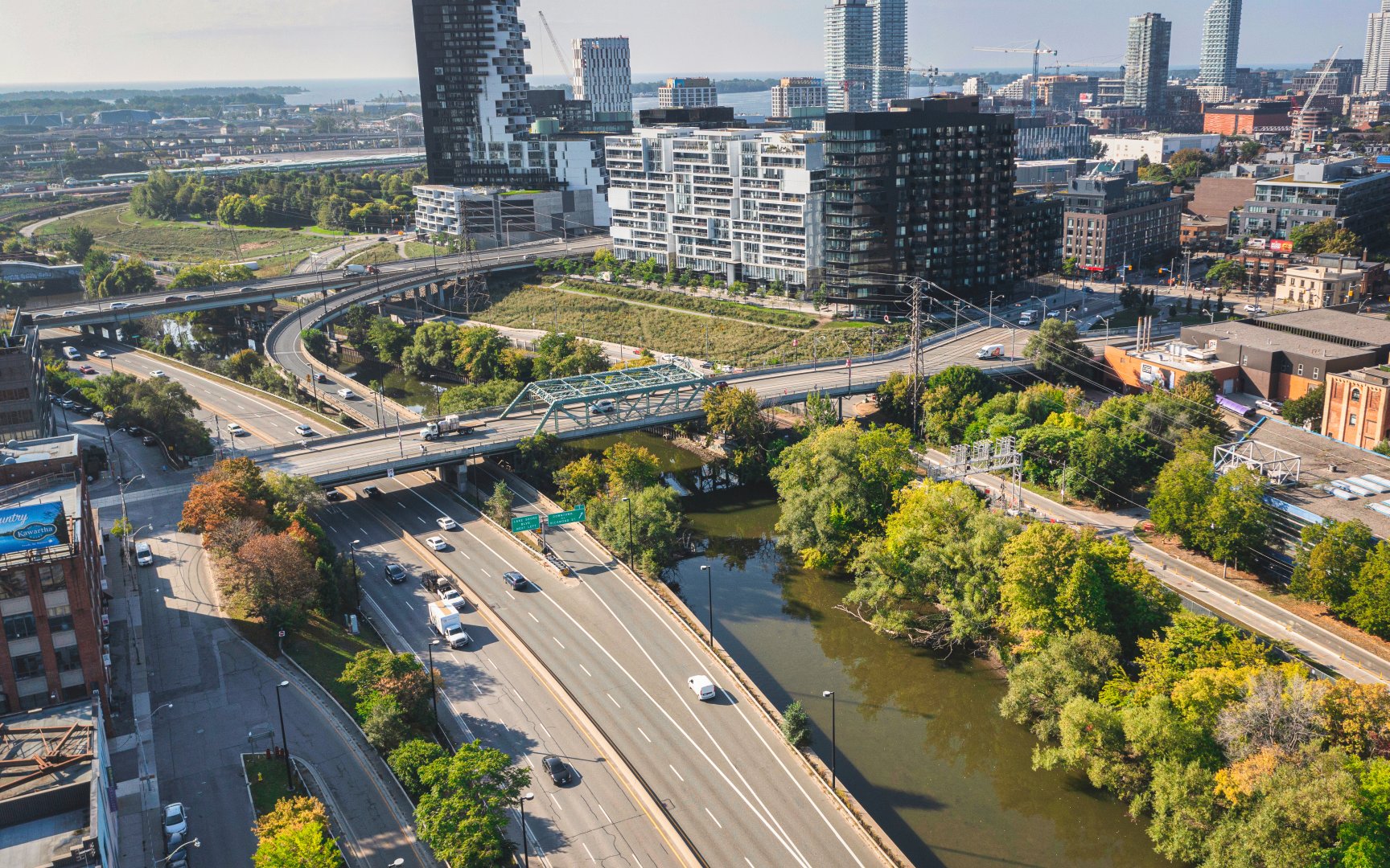
West Don Lands has been carefully planned to include people of all ages who want to live, work, and play in a vibrant community located just minutes from Toronto’s downtown core. Being one of the most connected districts in all of Toronto, enjoy walk, transit, and bike scores all above 92/100. With convenient access to both the Don Valley Parkway and the Gardiner Expressway, motorists can easily access the neighbourhood whether entering or exiting the city.
Supporting the interconnectivity of the Toronto core, the City of Toronto in conjunction with the TTC and Metrolinx has begun development of the new Ontario Line. This 15.6-kilometre subway line with 15 new stations will shave end-to-end travel time in less than half of the current time. West Don Land residents are within walking distance of both Corktown Station and East Harbour Station providing convenient access to the incoming transit line.
Eastern Ave (c) Photo by SHANE Maps exclusively for SHANE Maps
Queen St E (c) Photo by SHANE Maps exclusively for SHANE Maps
Don Valley Parkway (c) Photo by SHANE Maps exclusively for SHANE Maps
