
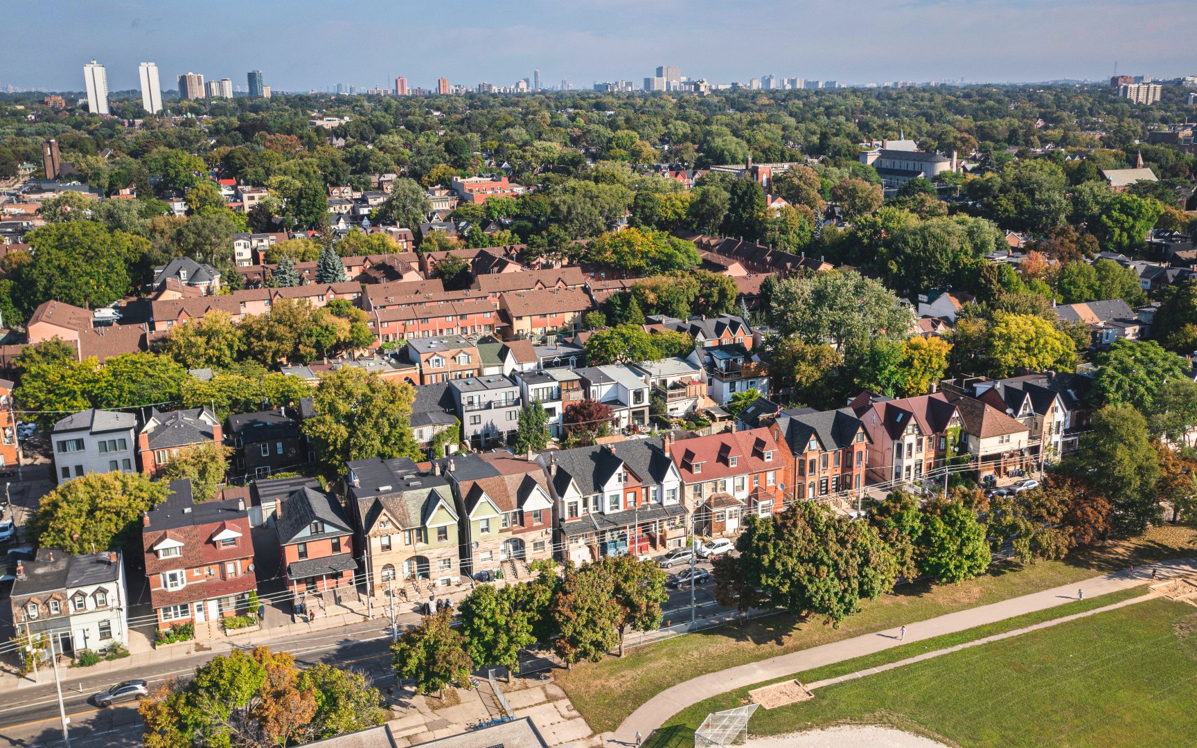
Living in Riverside
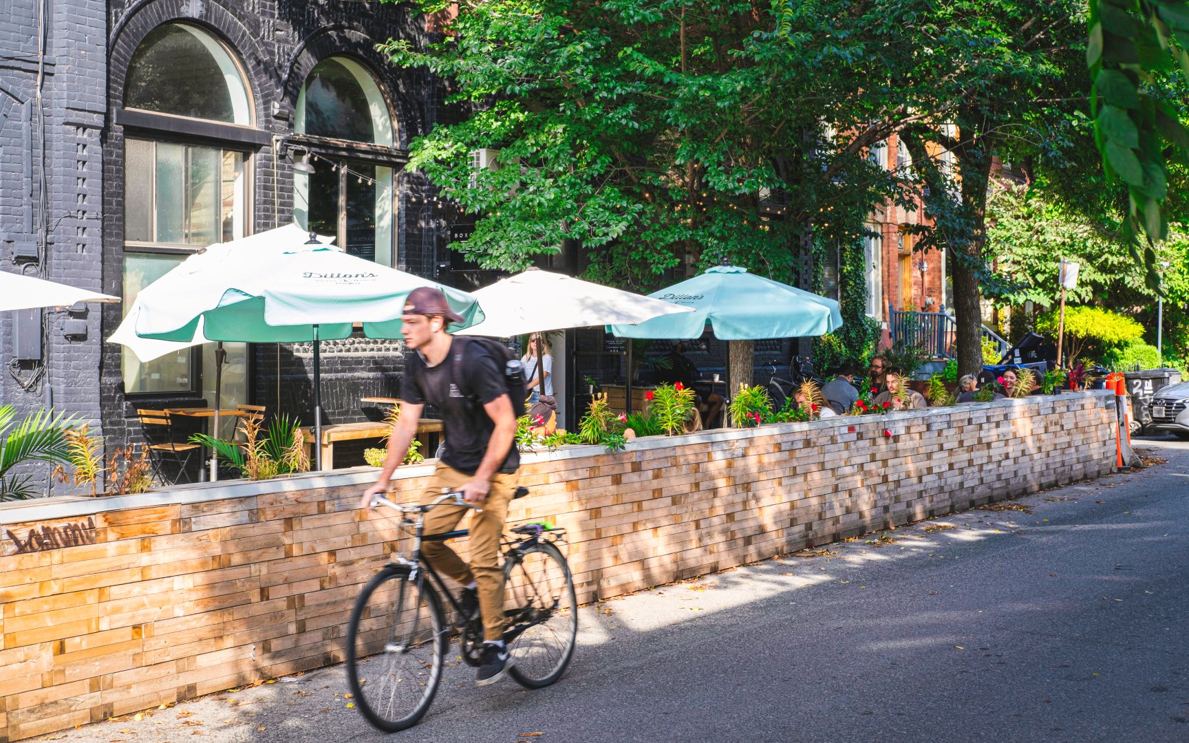
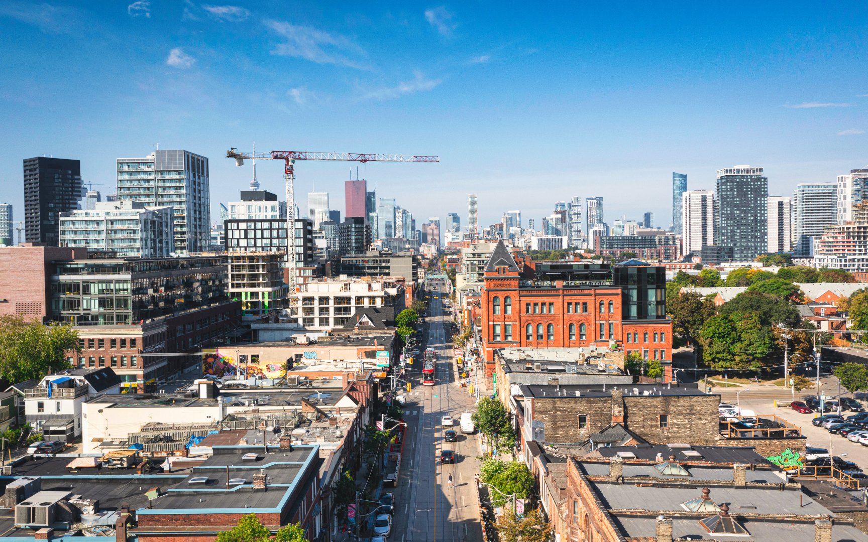
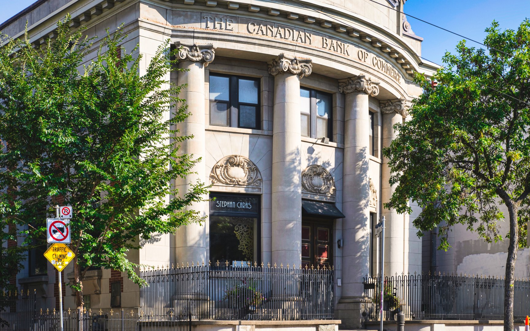
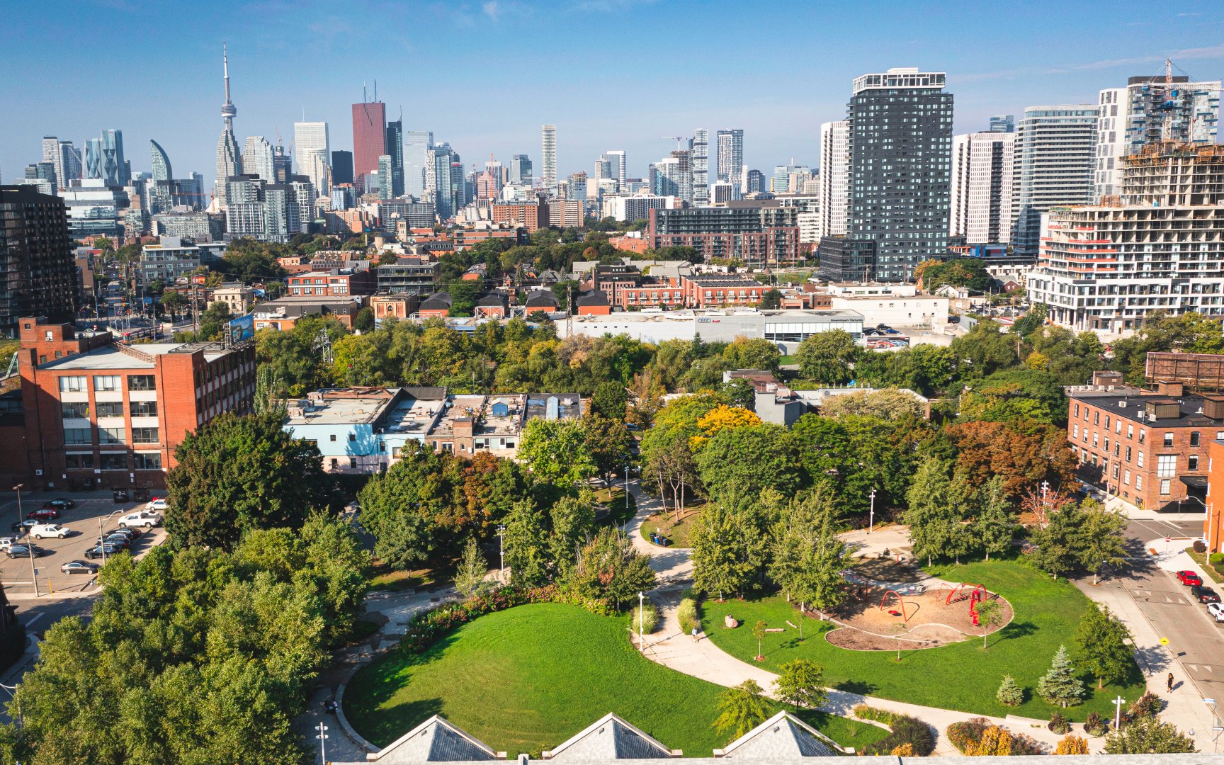
Located just 2.5 kilometres from downtown Toronto, find the tight-knit community of Riverside. This neighbourhood has maintained an ideal fusion, staying true to its authentic disposition while peacefully gentrifying, aligning with the community’s undertone. From century-old buildings, unique eateries and cafes, vibrant art and eclectic architecture and design, Riverside represents a truly special community of Toronto. Home to both Dundas Junior Public School and SEED Alternative School, the neighbourhood is a family favourite. Drawing on its history, often described as Bohemian, the neighbourhood channels its historic roots and continues to emphasize revitalization over new development. A cultural melting pot, people from all walks of life are attracted to Riverside. Along Queen Street, find countless artsy boutique businesses that complement the quaintness of the community.
Boulton Ave (c) Photos by SHANE Maps exclusively for SHANE Maps.
Queen St E (c) Photos by SHANE Maps exclusively for SHANE Maps.
Queen St E (c) Photos by SHANE Maps exclusively for SHANE Maps.
SEED Alternative School (c) Photos by SHANE Maps exclusively for SHANE Maps.
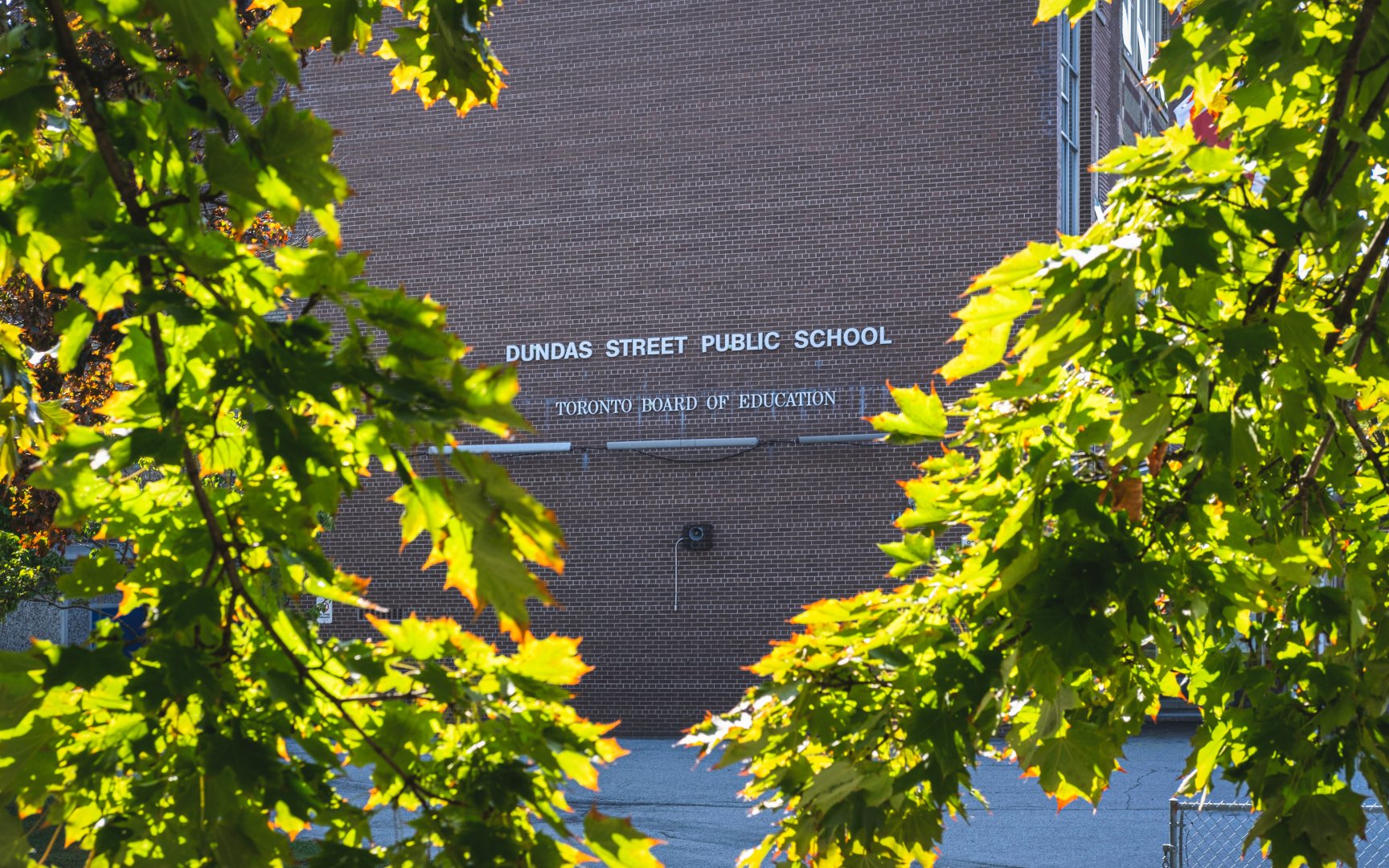
Dundas Junior Public School (c) Photos by SHANE Maps exclusively for SHANE Maps.
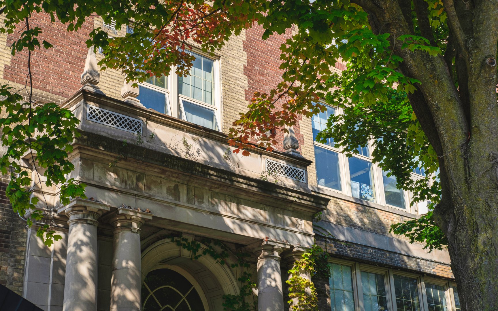
Dundas Junior Public School (c) Photos by SHANE Maps exclusively for SHANE Maps.
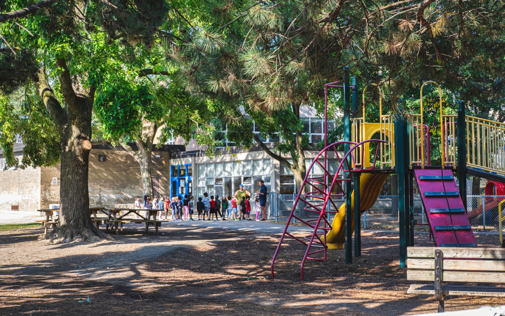
Dundas Junior Public School (c) Photos by SHANE Maps exclusively for SHANE Maps.
History of Riverside
1882 was the first appearance of Riverside (formerly known as the Village of Riverside) on a map of Toronto titled Goads Insurance Plan of the City. Not long after in 1884, the Village of Riverside was annexed by the City of Toronto and the Riverside neighbourhood was then born. In the years prior to 1884, Riverside mainly consisted of a working-class population. Many residents were employed locally by the nearby railway or one of the local market gardens. Riverside saw exponential growth and development in the years following its annexation. Upon joining the city of Toronto, property development was one of the largest notable shifts. The building of beautiful Victorian and Edwardian homes that are still seen in the present day are a result of this transition period from village to city. During this shift from village to city, Riverside did lose a portion of its independent identity. After being annexed, residents from all over began referring to the region as South Riverdale, an extension of the greater Riverdale neighbourhood. This caused tension in the community as its prior identity was being shadowed by its convergence with Toronto. As waves of gentrification spread among various neighbourhoods, this neighbourhood resisted these further changes to its region. As a result, many of the Toronto neighbourhoods progressed and advanced through the gentrification development, leaving Riverside behind. In 2005, in an effort to advance the community, the B.I.A changed the neighbourhood’s name back to Riverside sparking its desire for advancement. Riverside is a prime example of how respect for a community’s history is fundamental to its progression and advancement into modern society.
Queen St E (c) Photos by SHANE Maps exclusively for SHANE Maps.
Queen St E (c) Photos by SHANE Maps exclusively for SHANE Maps.
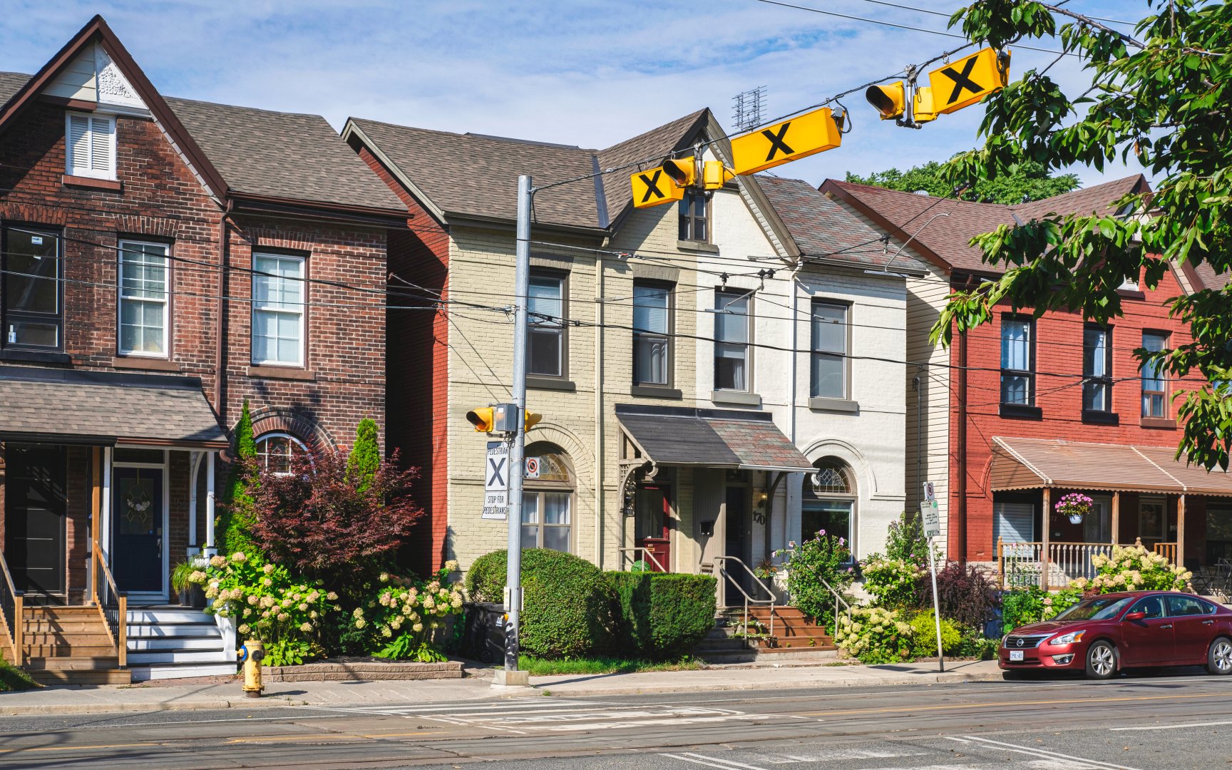
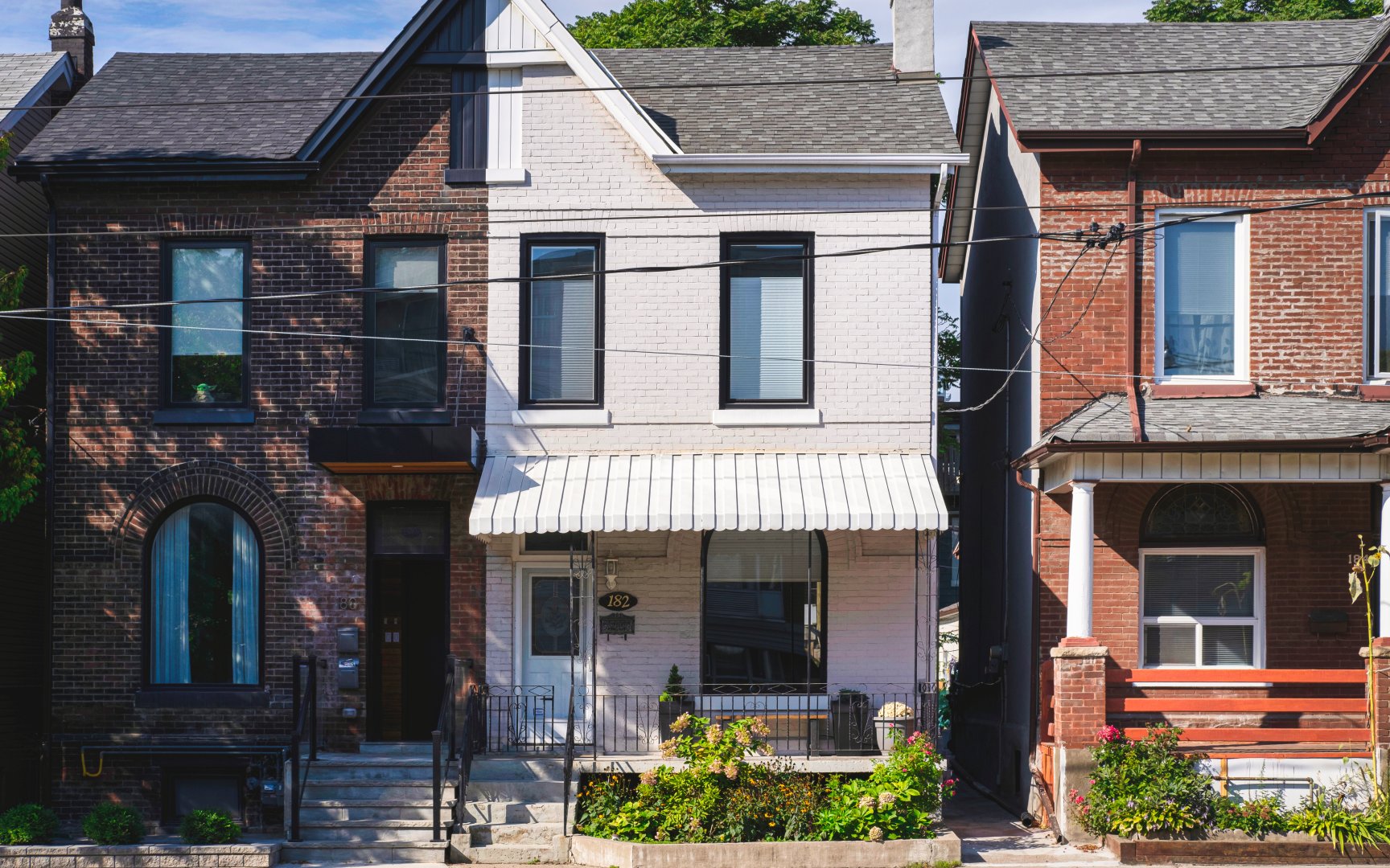
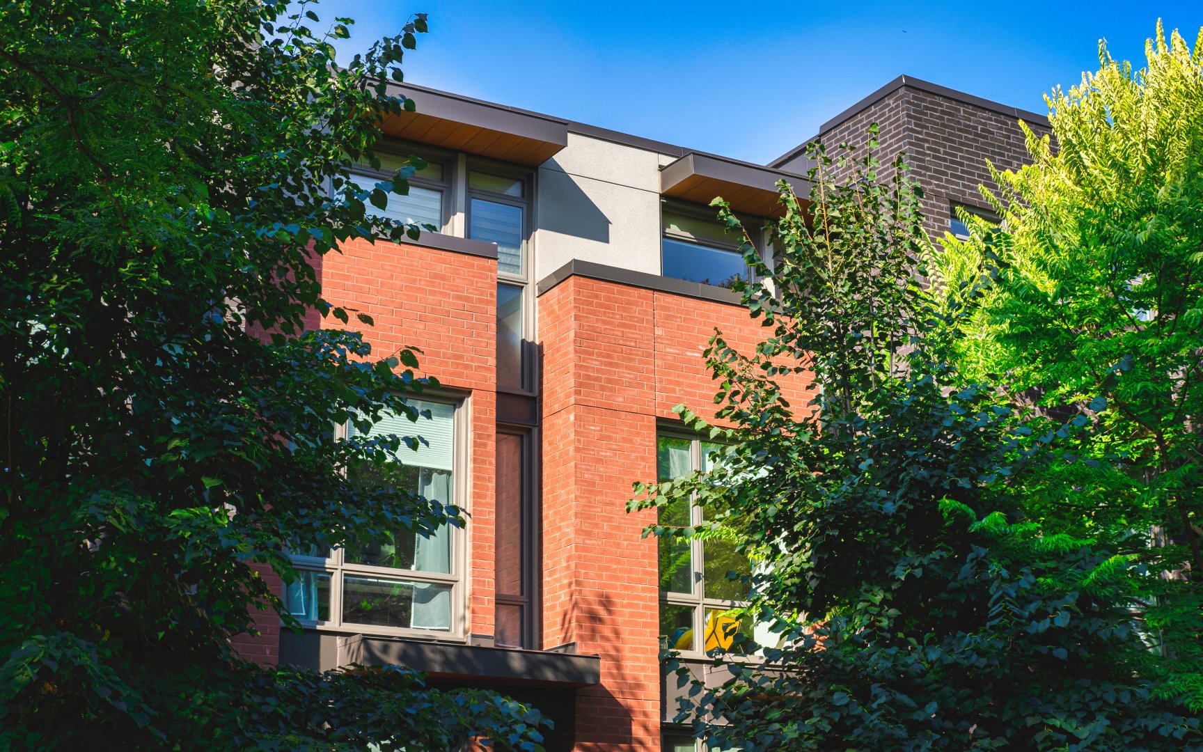
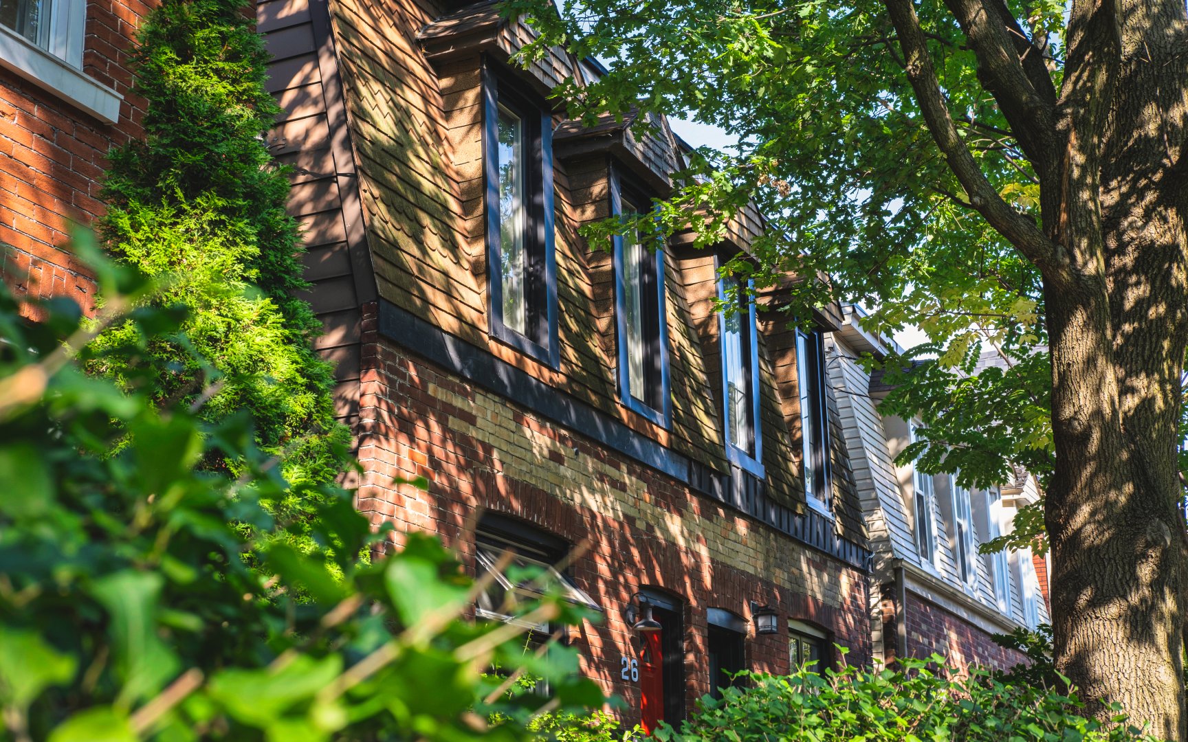
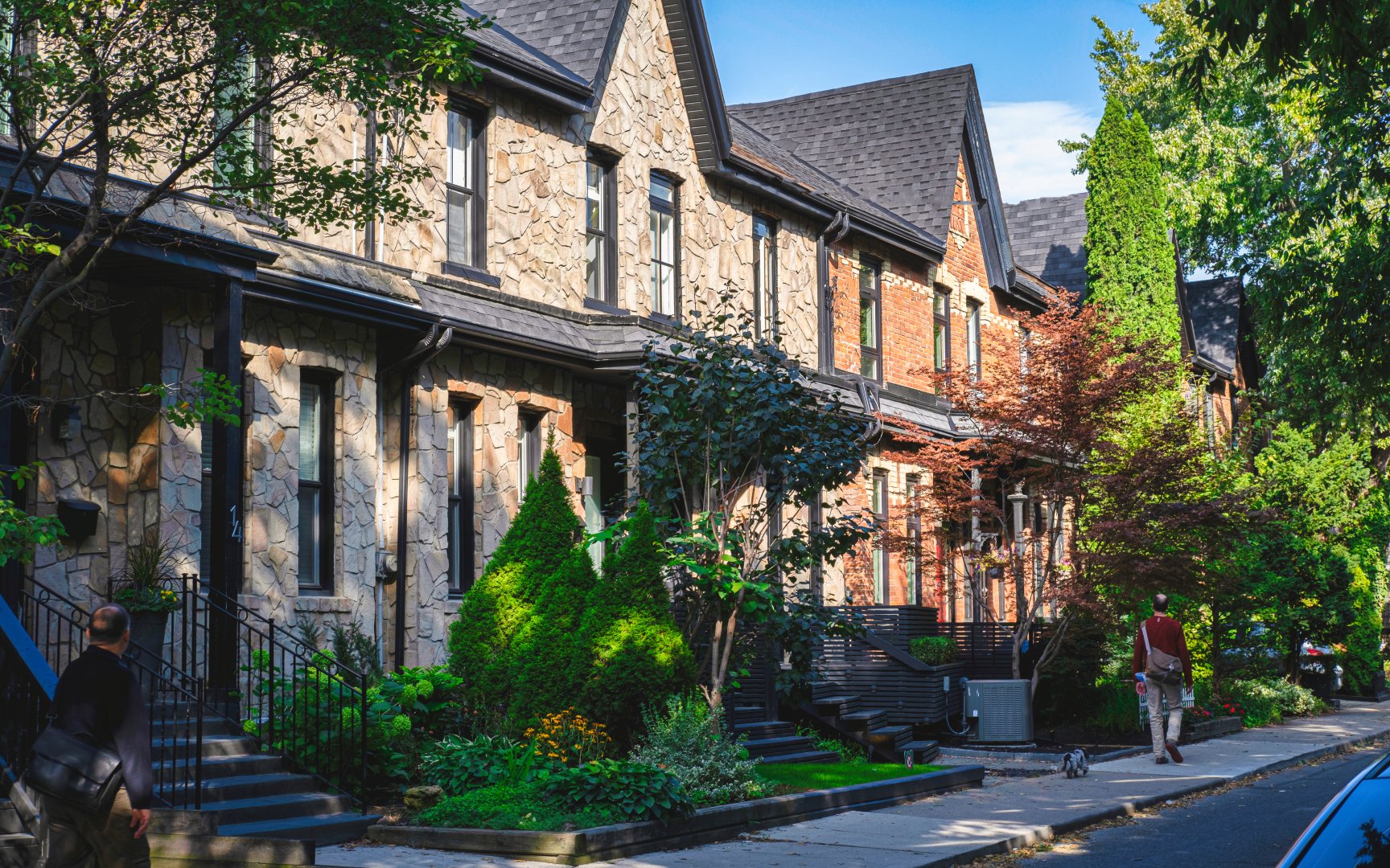
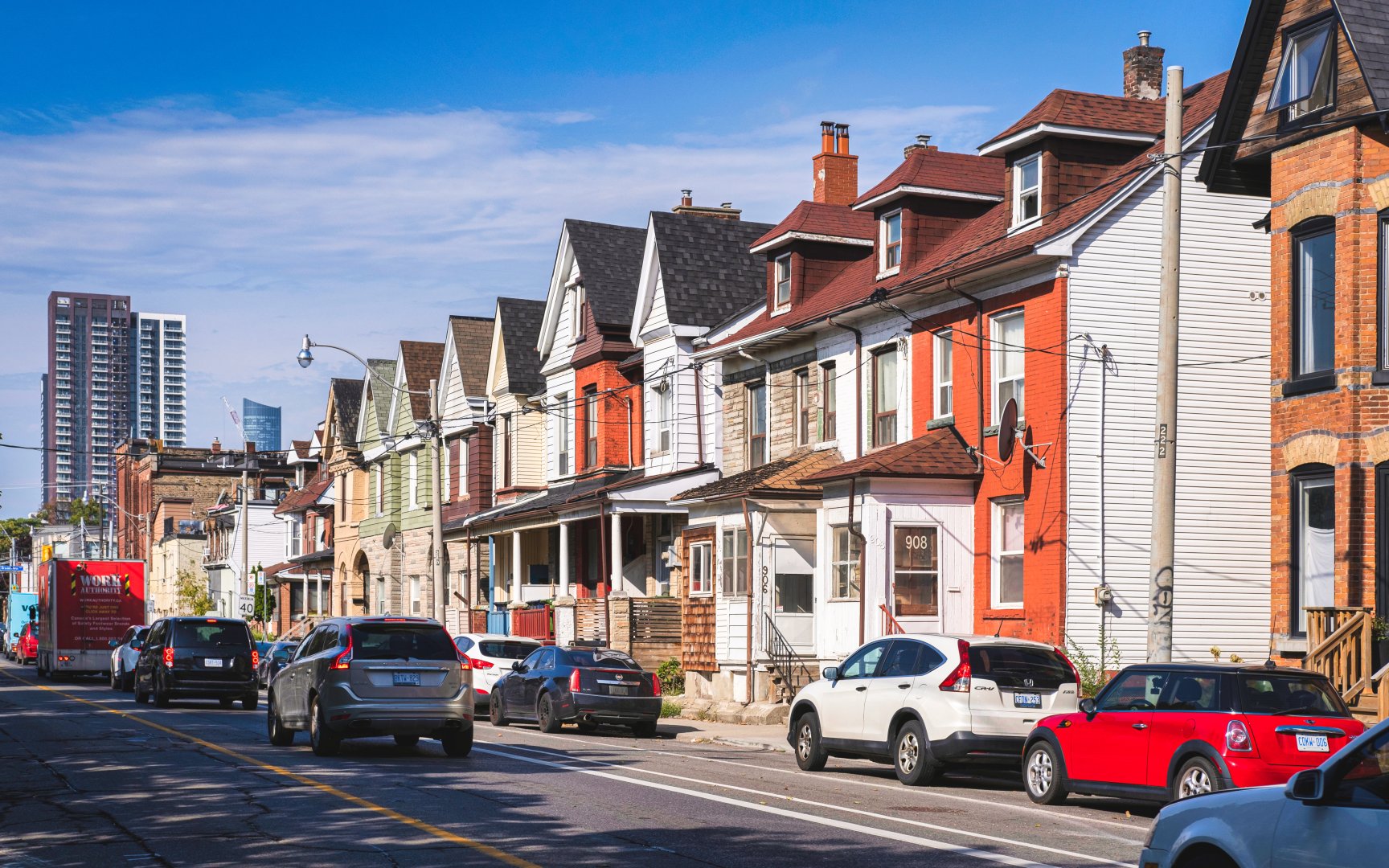
Homes in Riverside
Throughout the neighbourhood find various heritage properties including those of Victorian, Second Empire and Edwardian architecture. With few detached homes in the community, Riverside is mainly composed of semi-detached and attached townhomes. Spanning across the neighbourhood’s 10-block tree-lined streets, properties are found nestled among beautiful mature trees and vegetation contributing to the eclectic and historic feel. In recent years, Toronto home buyers have, in a way “rediscovered” the Riverside community developing it into a highly attractive region of the city. With convenient access to the downtown core combined with a unique and authentic atmosphere, buyers are drawn to this community-oriented neighbourhood.
Broadview Ave (c) Photos by SHANE Maps exclusively for SHANE Maps.
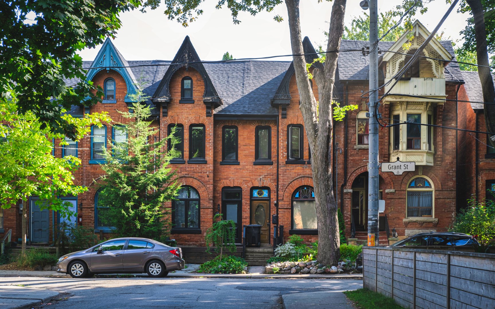
Grant St (c) Photos by SHANE Maps exclusively for SHANE Maps.
Broadview Ave (c) Photos by SHANE Maps exclusively for SHANE Maps.
Boulton Ave (c) Photos by SHANE Maps exclusively for SHANE Maps.
Howie St (c) Photos by SHANE Maps exclusively for SHANE Maps.
De Grassi St (c) Photos by SHANE Maps exclusively for SHANE Maps.
Dundas St E (c) Photos by SHANE Maps exclusively for SHANE Maps.
Dundas St E (c) Photos by SHANE Maps exclusively for SHANE Maps.

The Broadview Lofts (c) Photos by SHANE Maps exclusively for SHANE Maps.
Lifestyle in Riverside
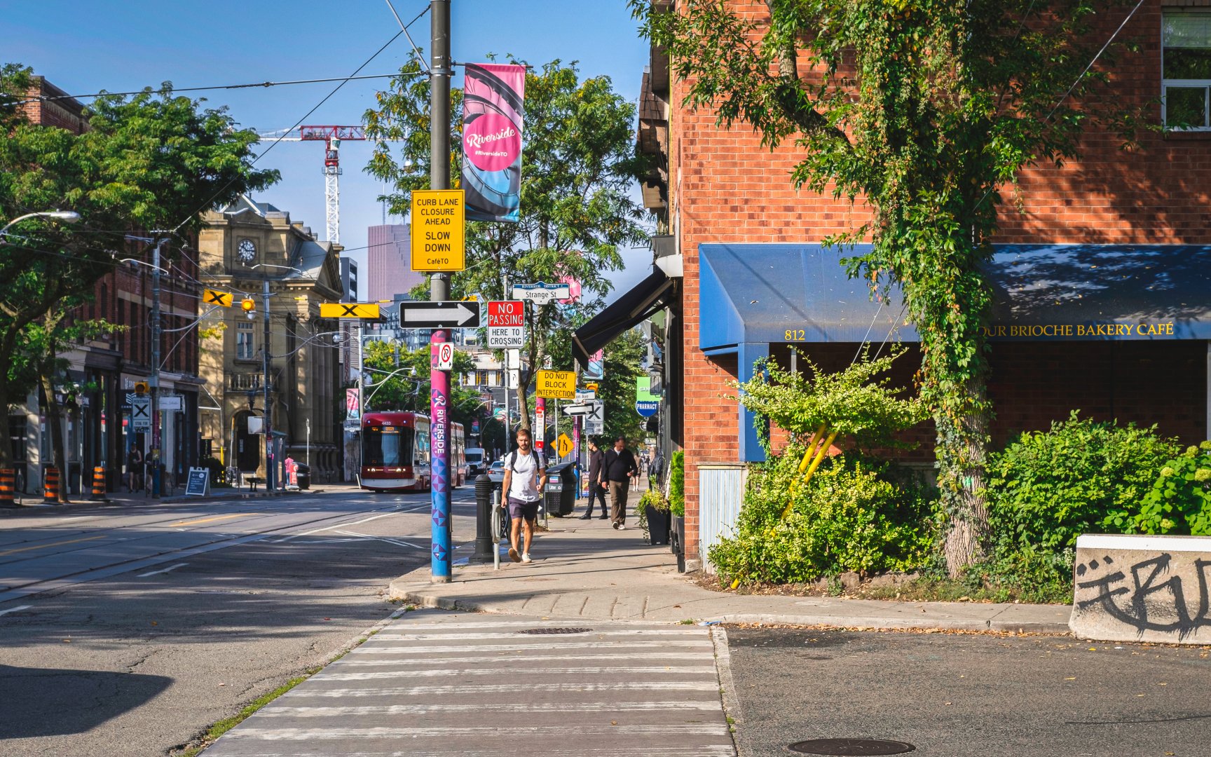
Explore all Riverside has to offer. A well-known culinary hub in downtown Toronto, the neighbourhood is home to numerous award-winning restaurants. Lady Marmalade located at 265 Broadview Ave is a popular all-day brunch establishment serving a wide collection of dishes. Enjoy authentic middle eastern cuisine at Tabule located on Queen Street East. With an array of salads and authentically seasoned meats, enjoy the flavours and tastes of middle eastern cuisine. Il Ponte, a family-run Italian restaurant offers a warm and inviting atmosphere serving gourmet pizzas and entrees. Est Restaurant located at 729 Queen Street East offers unique tasting menus built around diverse local cuisines paired with an expansive international wine selection.
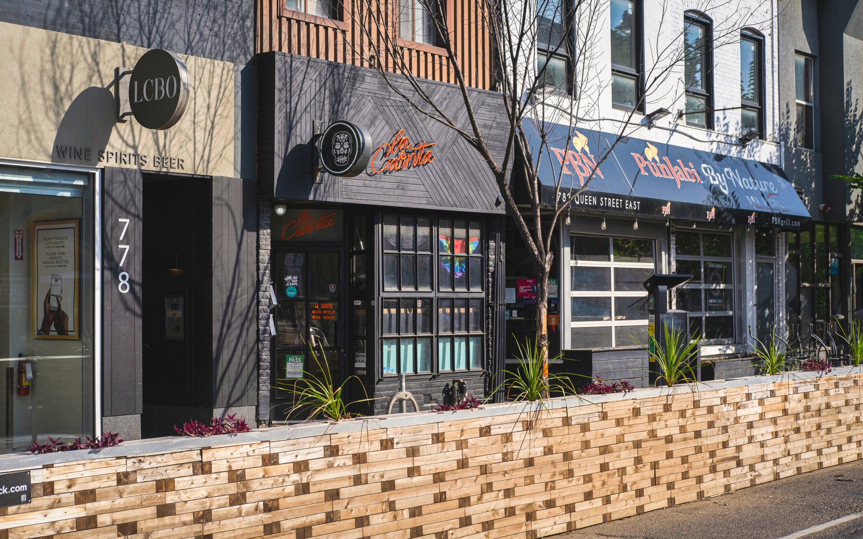
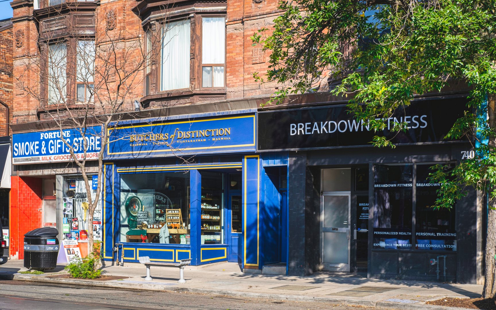
Riverside also houses a wide array of shops and services, most concentrated along Queen Street East. With over 120 businesses, find a collection of independently owned shops offering unique and eclectic products and services. From fast-forward clothing boutiques to home décor shops and intimate gift shops, Queen Street East in Riverside offers a fabulous location to enjoy a day of shopping.
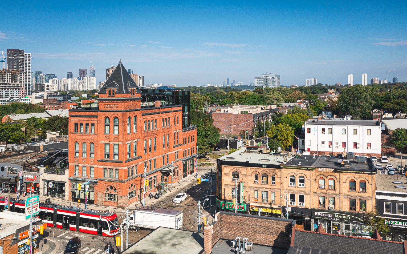
A notorious landmark in the Riverside neighbourhood, The Broadview Hotel persists as one of Toronto’s hottest boutique-style hotels. Located at 106 Broadview Ave, explore its three vibrant restaurants The Rooftop, The Broadview Bistro + Bar and the Civic. Whether staying overnight or dropping in to dine, rest assured The Broadview Hotel provides unique atmospheres, friendly service and elevated-heritage charm.

The Broadview Hotel (c) Photos by SHANE Maps exclusively for SHANE Maps.
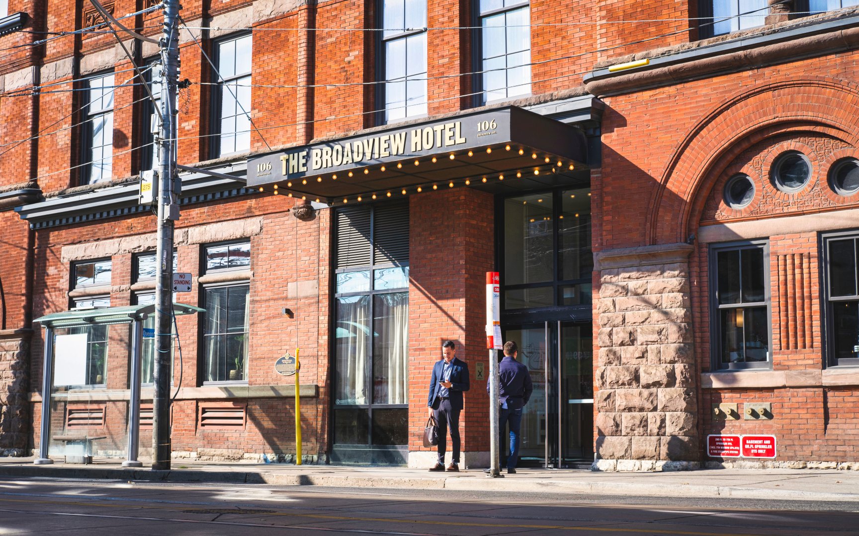
The Broadview Hotel (c) Photos by SHANE Maps exclusively for SHANE Maps.
Queen St E (c) Photos by SHANE Maps exclusively for SHANE Maps.
Queen St E (c) Photos by SHANE Maps exclusively for SHANE Maps.
Queen St E (c) Photos by SHANE Maps exclusively for SHANE Maps.
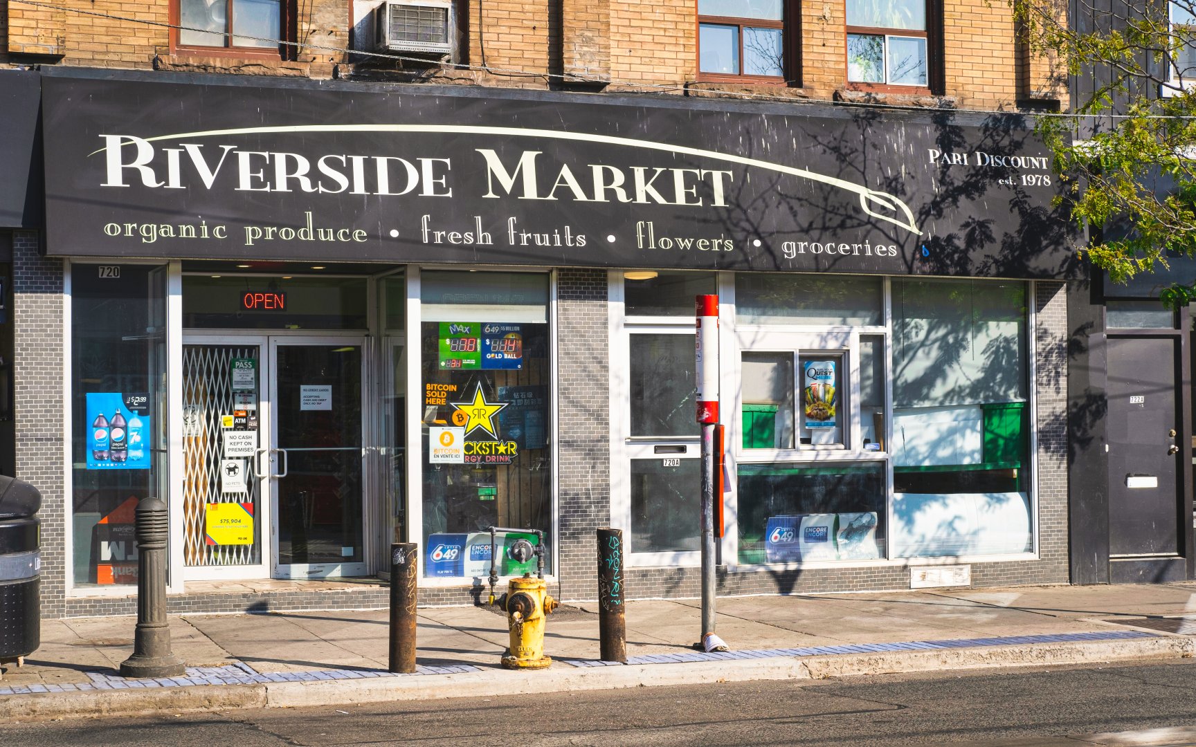
Riverside Market (c) Photos by SHANE Maps exclusively for SHANE Maps.
Recreation in Riverside
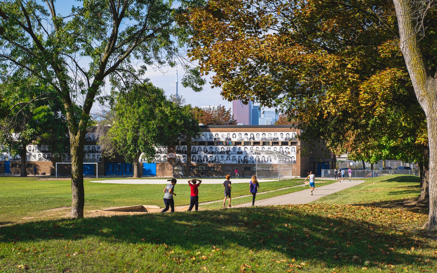
Throughout the neighbourhood of Riverside explore numerous community-engaging offerings. The Jimmie Simpson Recreation Centre located at 870 Queen Street East houses a range of facilities for neighbourhood residents’ convenient use. Enjoy an indoor swimming pool, multipurpose workspaces, a seasonal outdoor ice rink, and Jimmie Simpson Park located adjacent to the recreation centre. This large greenspace offers tennis courts, a soccer field, basketball courts and a baseball diamond. Accessible year-round, residents enjoy the variety of opportunities offered by the Jimmie Simpson Recreational Centre and Park. Discover The Opera House located at 735 Queen Street East and explore the vast range of large concerts and spectacles offered. The venue has been universally used, hosting various events including comedy acts, DJs, corporate events, fundraising charitable events, feature film debuts, and commercial and television shoots. Regardless of individual preference, The Opera House hosts events catering to all spectators. Residents also have access to the Ralph Thornton Community Centre located at 765 Queen Street East. This multi-use centre offers various education and recreation programs for all ages. The space is also utilized for neighbourhood meetings, allowing residents a place to gather and express their community goals and desires.
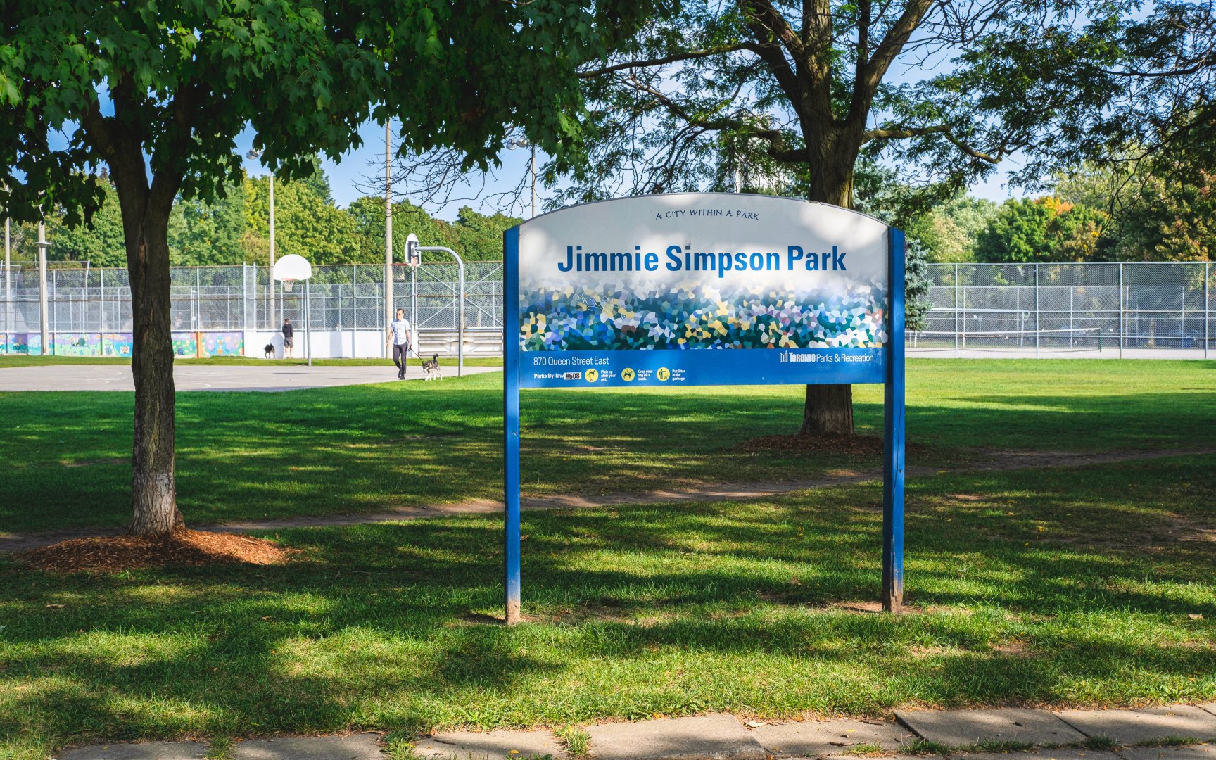
Jimmie Simpson Park (c) Photos by SHANE Maps exclusively for SHANE Maps.
Joel Weeks Park (c) Photos by SHANE Maps exclusively for SHANE Maps.
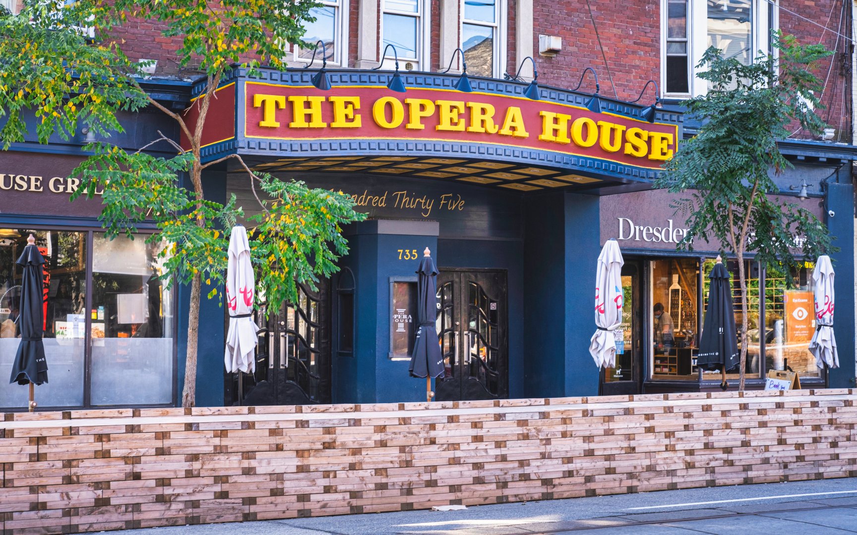
The Opera House (c) Photos by SHANE Maps exclusively for SHANE Maps.
Transportation in Riverside
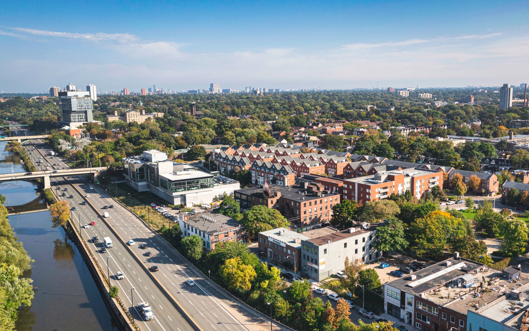
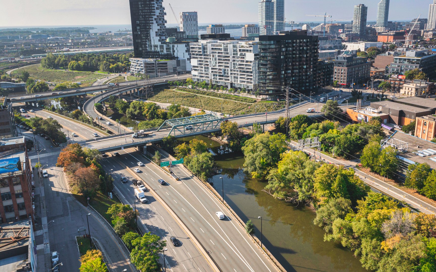
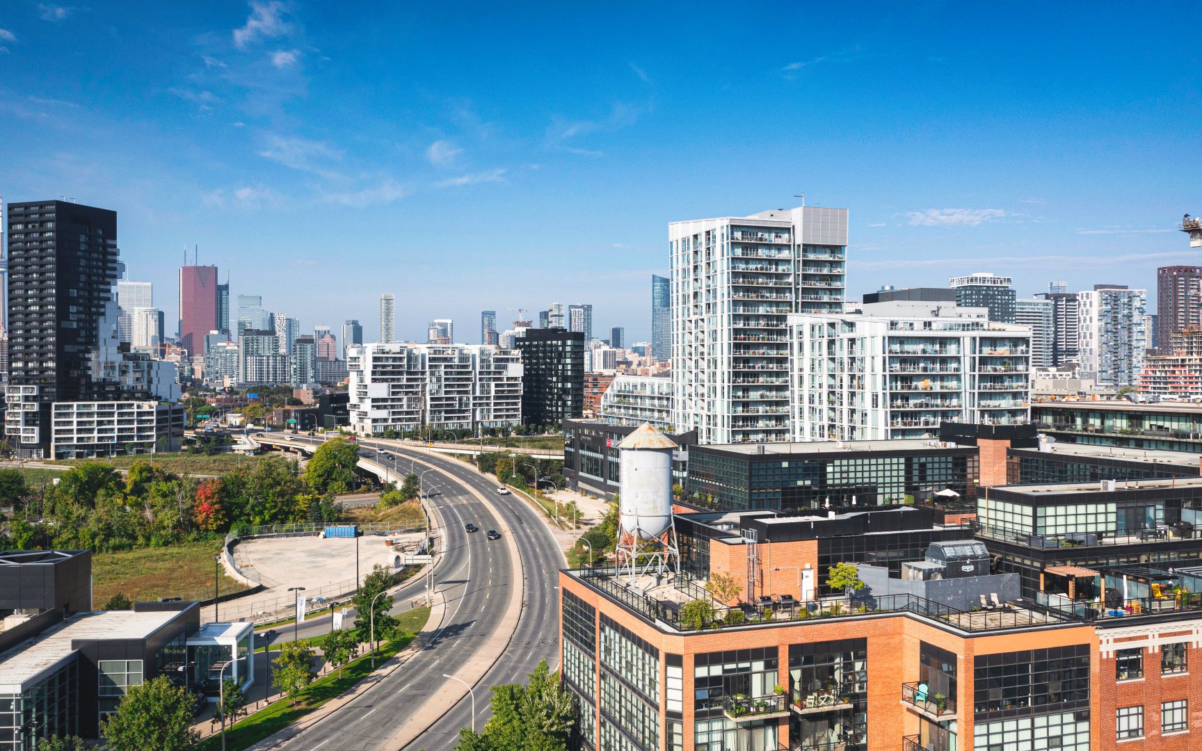
Only 2.5 kilometres outside of downtown Toronto, Riverside is ideally located for those wishing to maintain proximity to the core of downtown while enjoying a slower-pace, quiet lifestyle. Using public transit, the TTC 501 Queen streetcar runs directly through the neighbourhood connecting to Toronto’s mid and west areas. Stops located at intersections of Queen Street East and Carlaw Avenue and Queen Street East and Carroll Street allow riders to enter Toronto’s core in only 10 minutes. For motorists, the Don Valley Parkway is easily accessible as it traces the western border of Riverside.
Don Valley Parkway (c) Photos by SHANE Maps exclusively for SHANE Maps.
Queen St E (c) Photos by SHANE Maps exclusively for SHANE Maps.
Eastern Ave (c) Photos by SHANE Maps exclusively for SHANE Maps.
