
Living in Junction Triangle
Living in Junction Triangle offers residents a perfect mix of urban living and community charm. This west-end neighbourhood is known for its artistic vibe and growing collection of restaurants, cafes, and local shops. It’s a favourite for those seeking a quieter residential area while still being close to Toronto’s vibrant downtown core. With excellent walkability and proximity to parks—including High Park, one of Toronto’s largest and most beloved green spaces—the Junction Triangle is ideal for both professionals and families looking for a lively yet laid-back atmosphere.
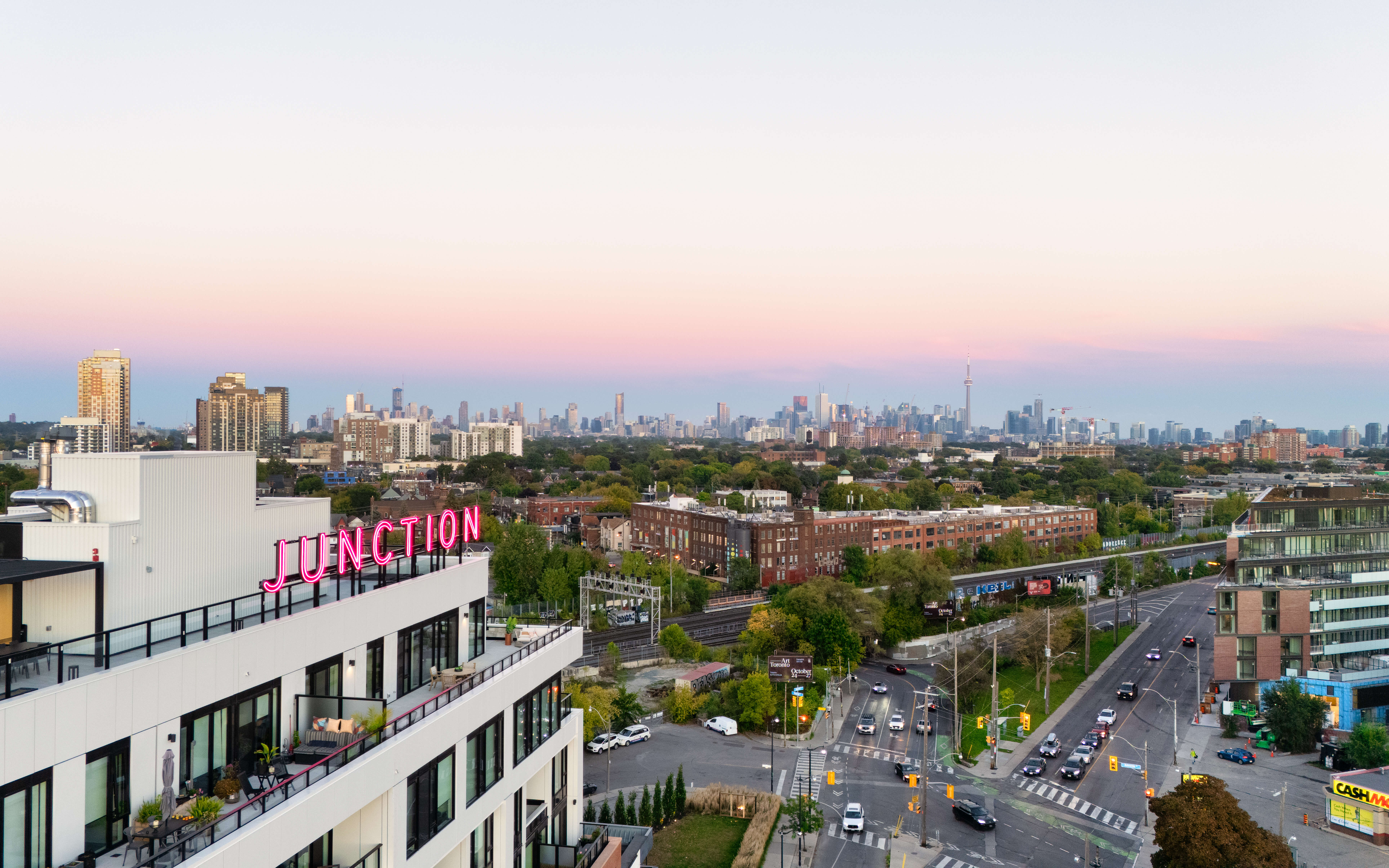
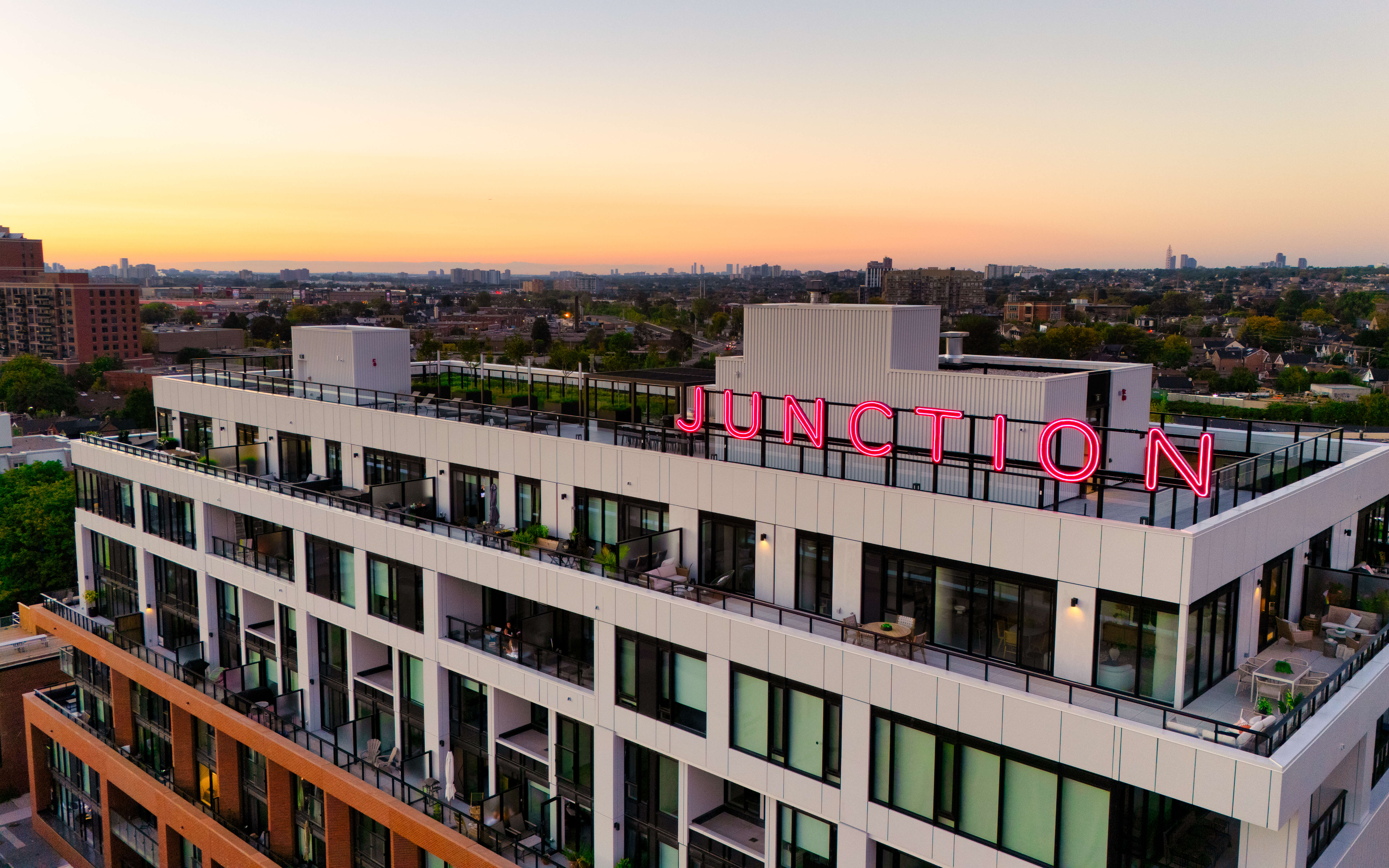
Junction Sign (c) Photo by SHANE Maps exclusively for SHANE Maps
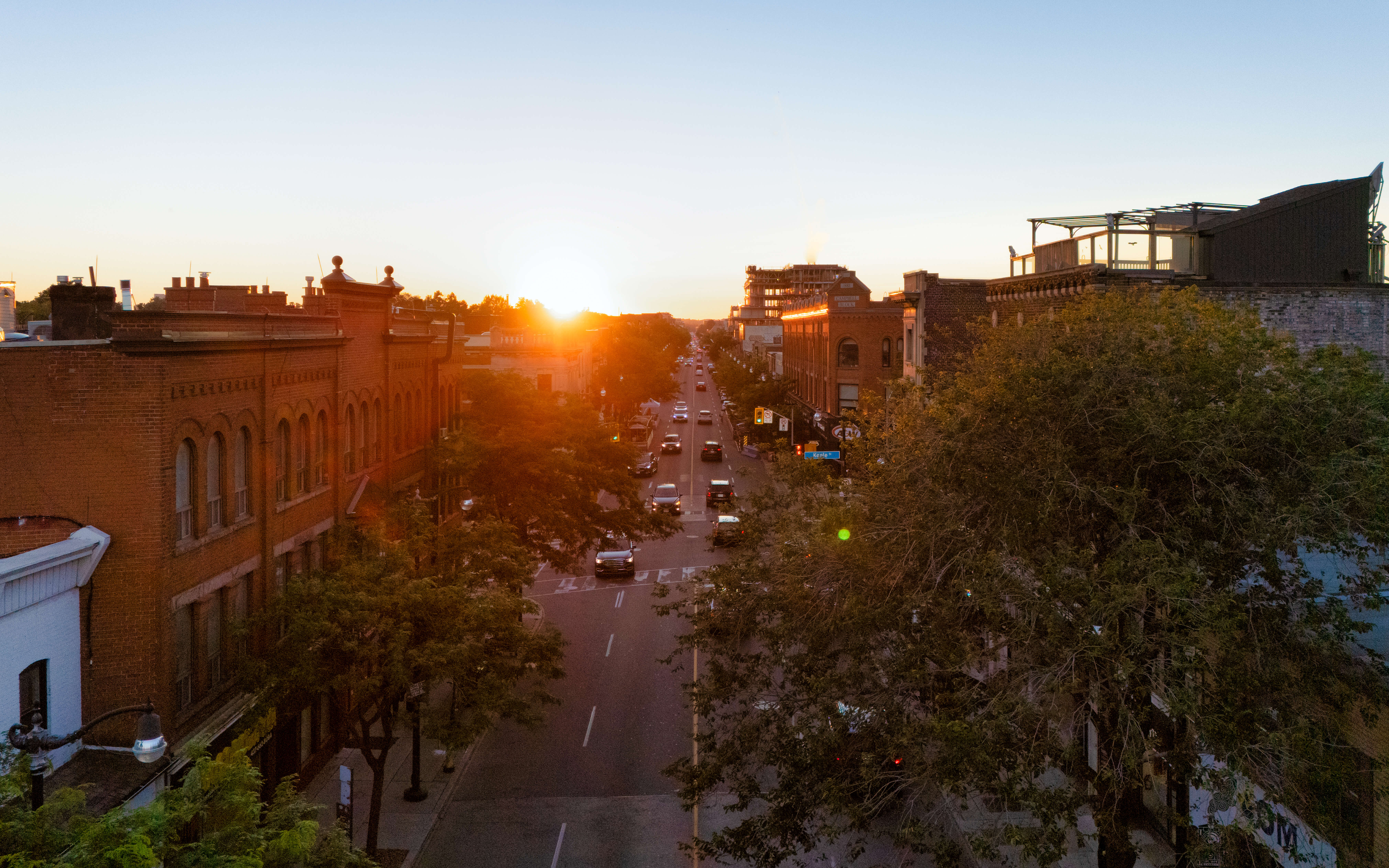
Dundas St W (c) Photo by SHANE Maps exclusively for SHANE Maps
T3 Sterling Road (c) Photo by SHANE Maps exclusively for SHANE Maps
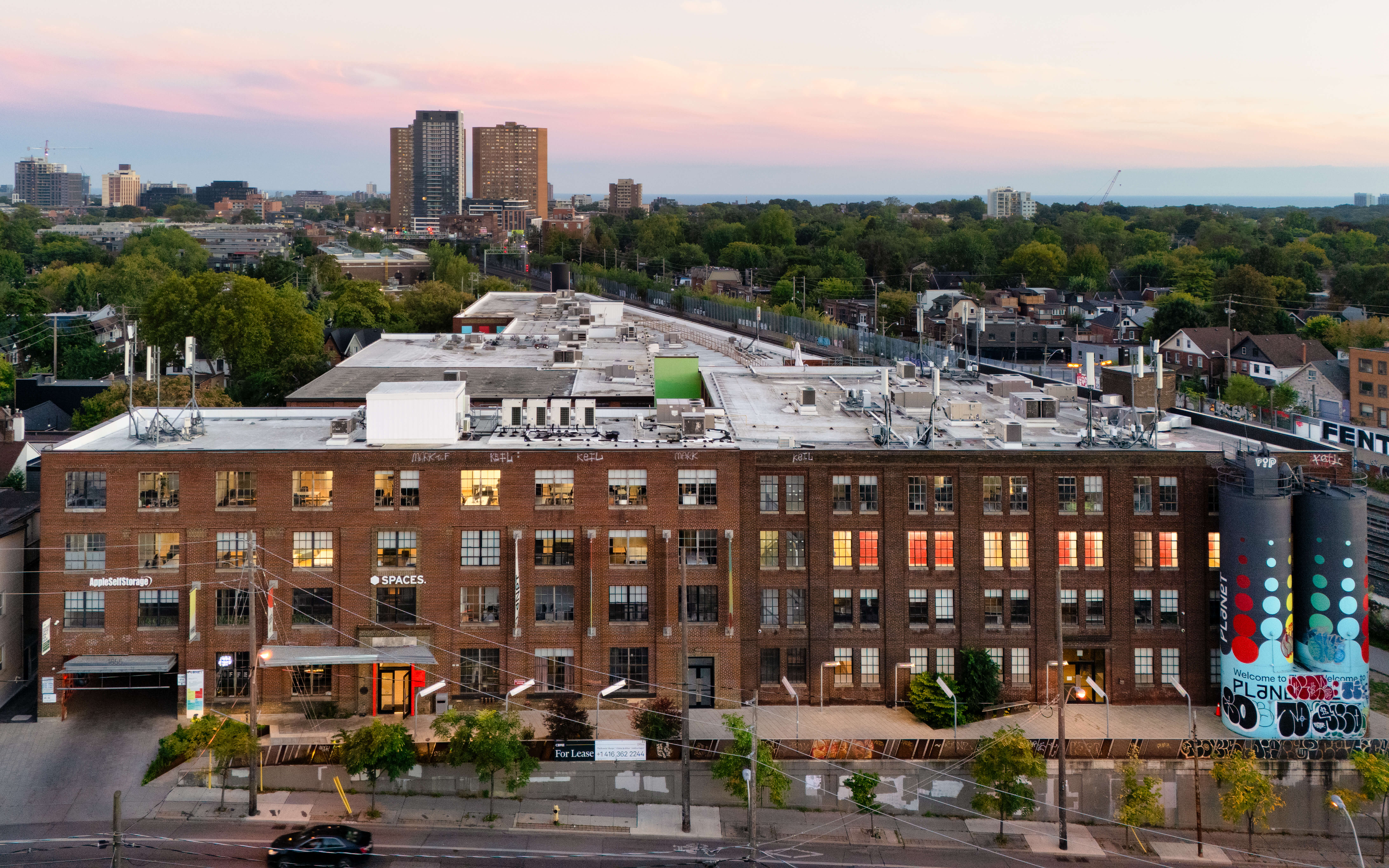
The Planet (c) Photo by SHANE Maps exclusively for SHANE Maps
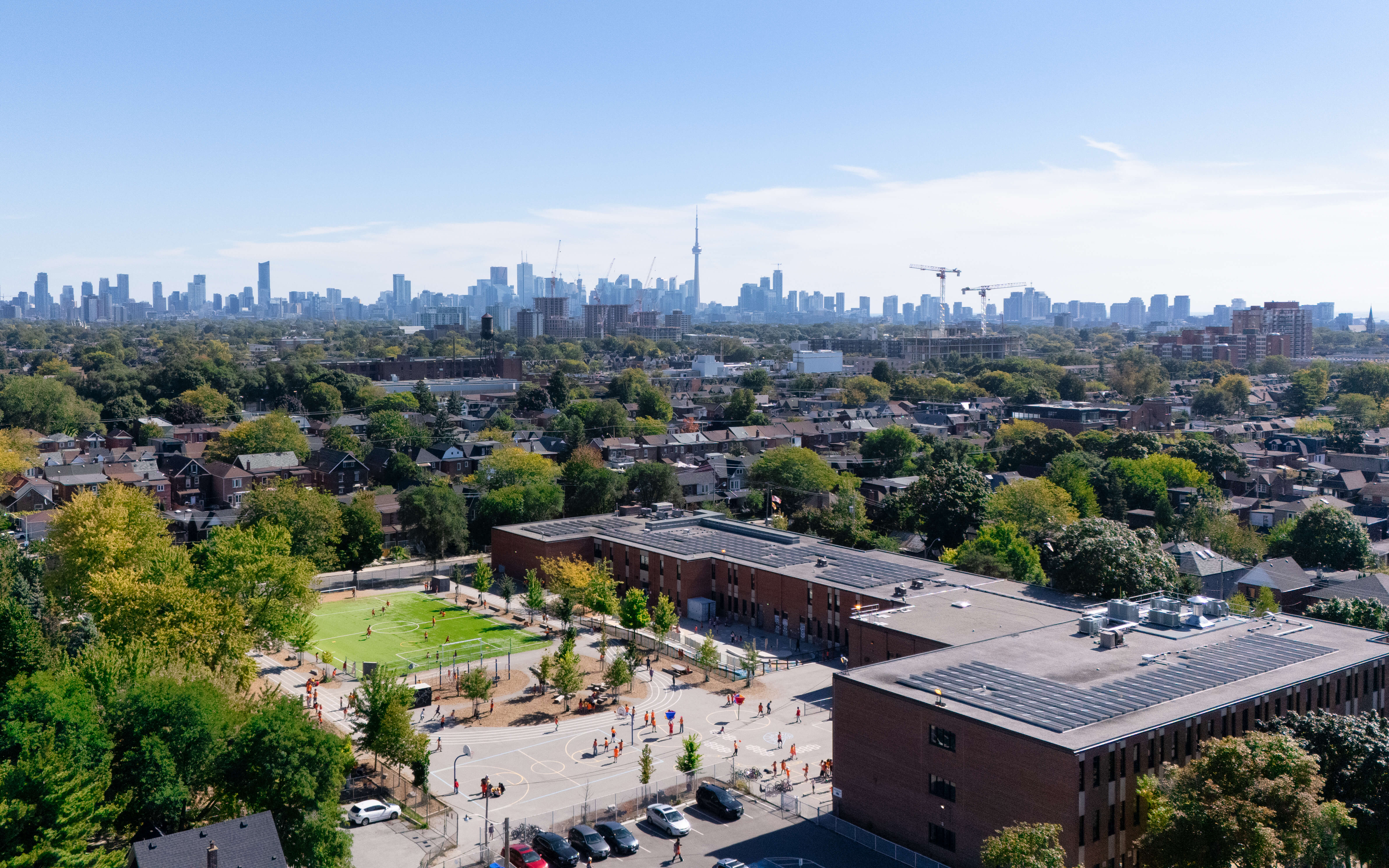
St. Luigi Catholic School (c) Photo by SHANE Maps exclusively for SHANE Maps
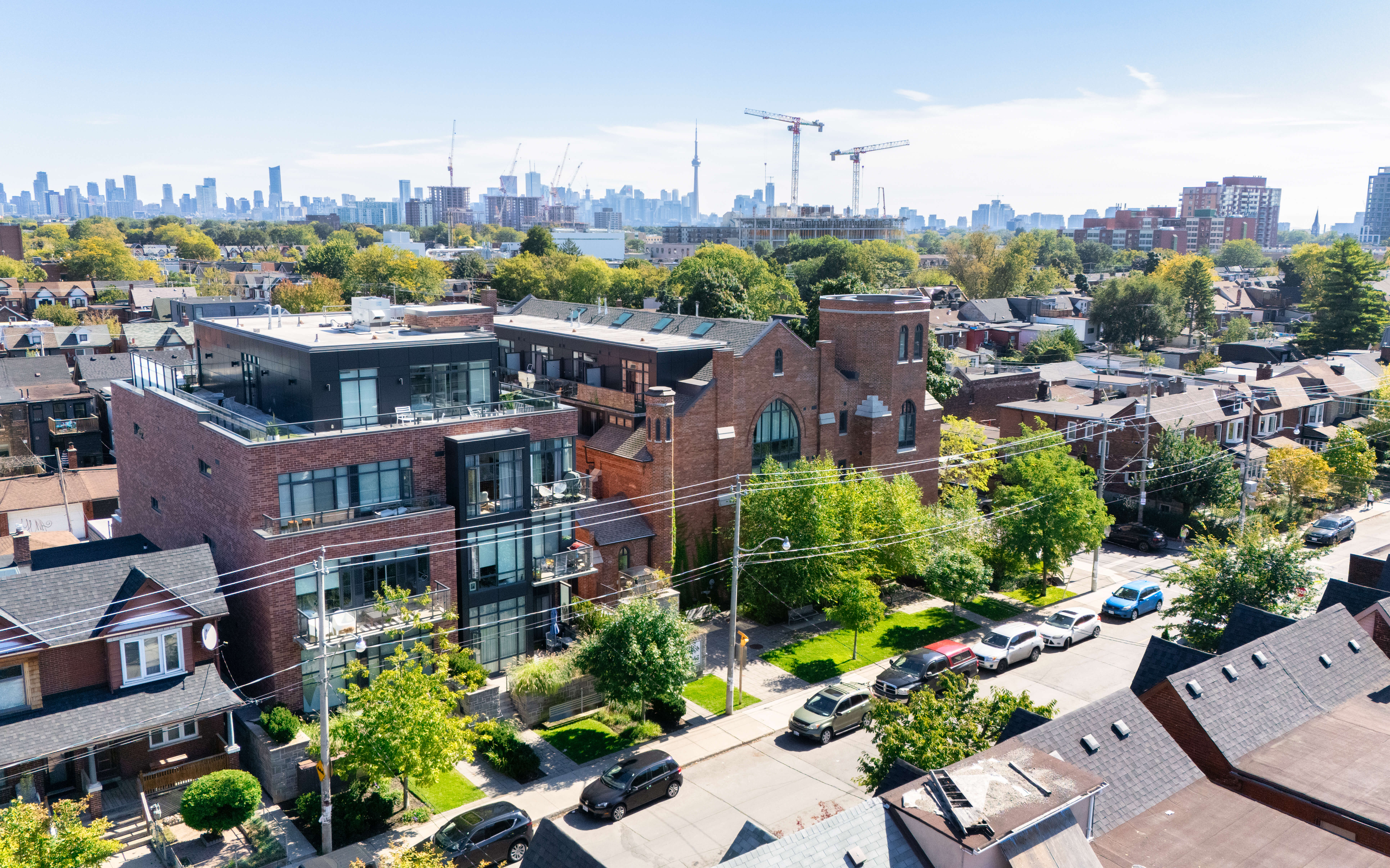
History of Junction Triangle
The Junction Triangle has a rich industrial past, which has shaped its unique character today. Bordered by three railway lines, the area earned its name from its triangular shape. In the early 20th century, the neighbourhood was a hub for manufacturing and industry, with factories employing many local residents. Over time, as Toronto evolved, the area began transforming into a vibrant residential and commercial space. Today, remnants of its industrial heritage are still visible in the architecture, blending seamlessly with modern developments and trendy loft conversions.
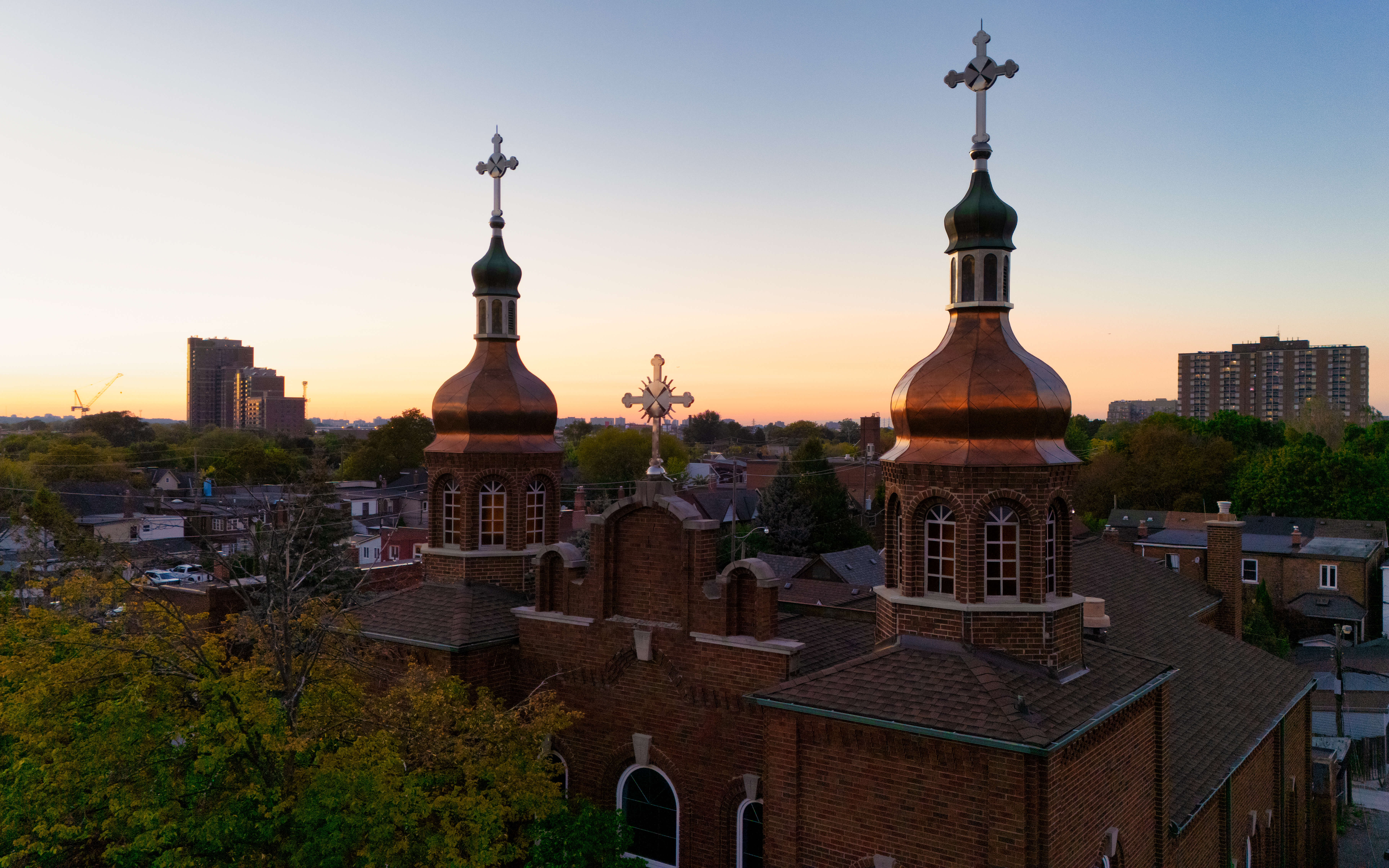
Ukrainian Orthodox Church of St. Andrew (c) Photo by SHANE Maps exclusively for SHANE Maps
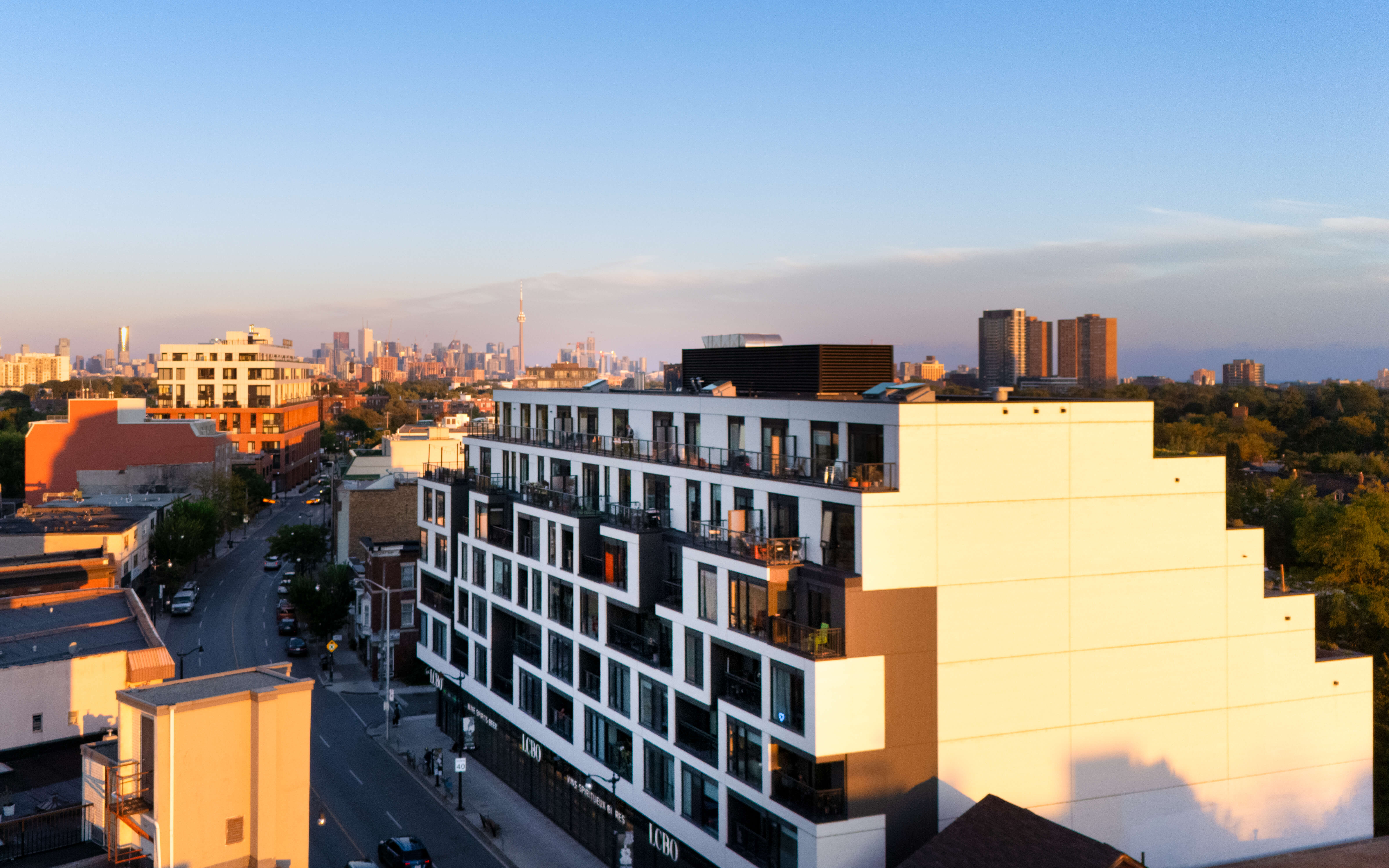
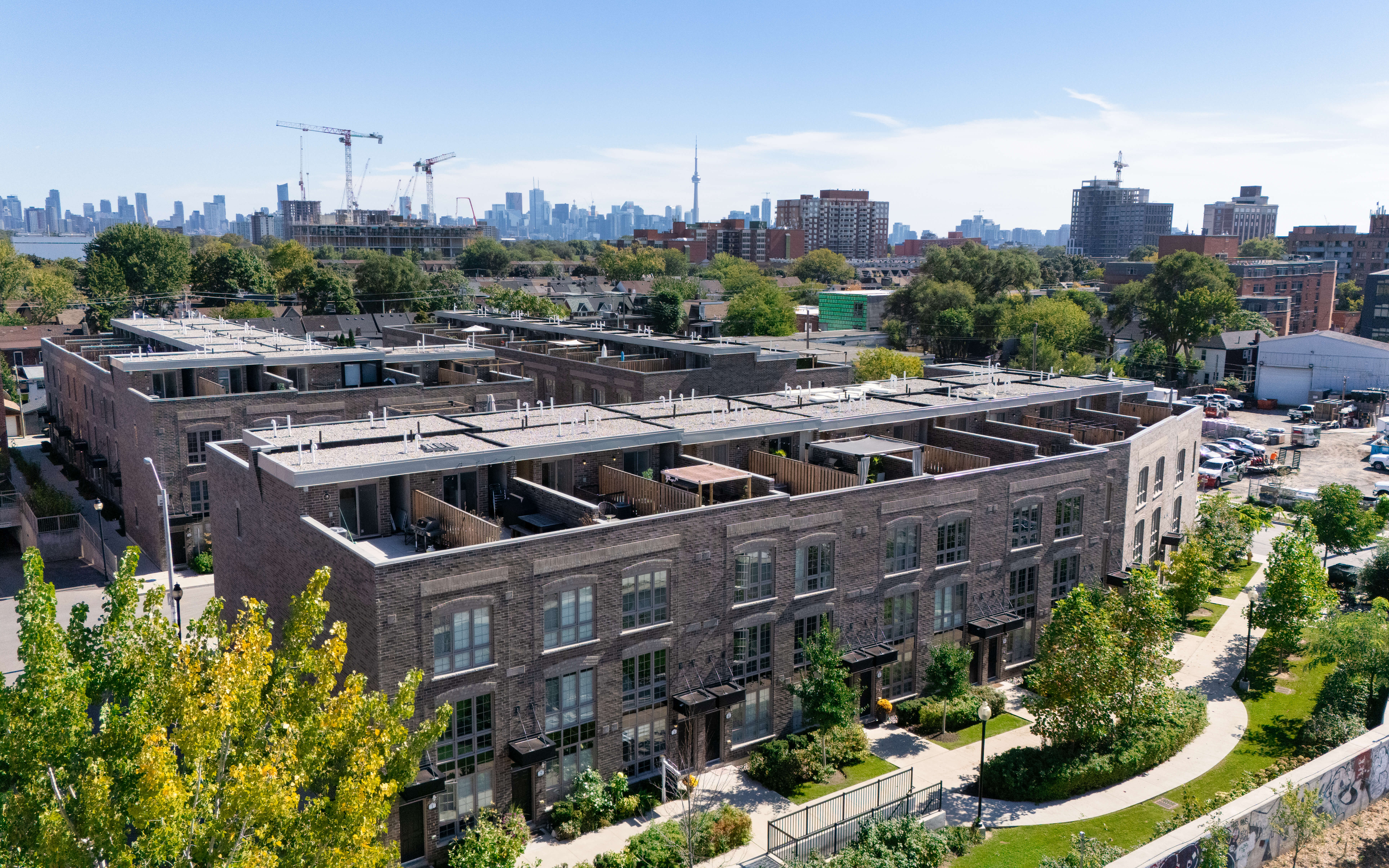
Homes in Junction Triangle
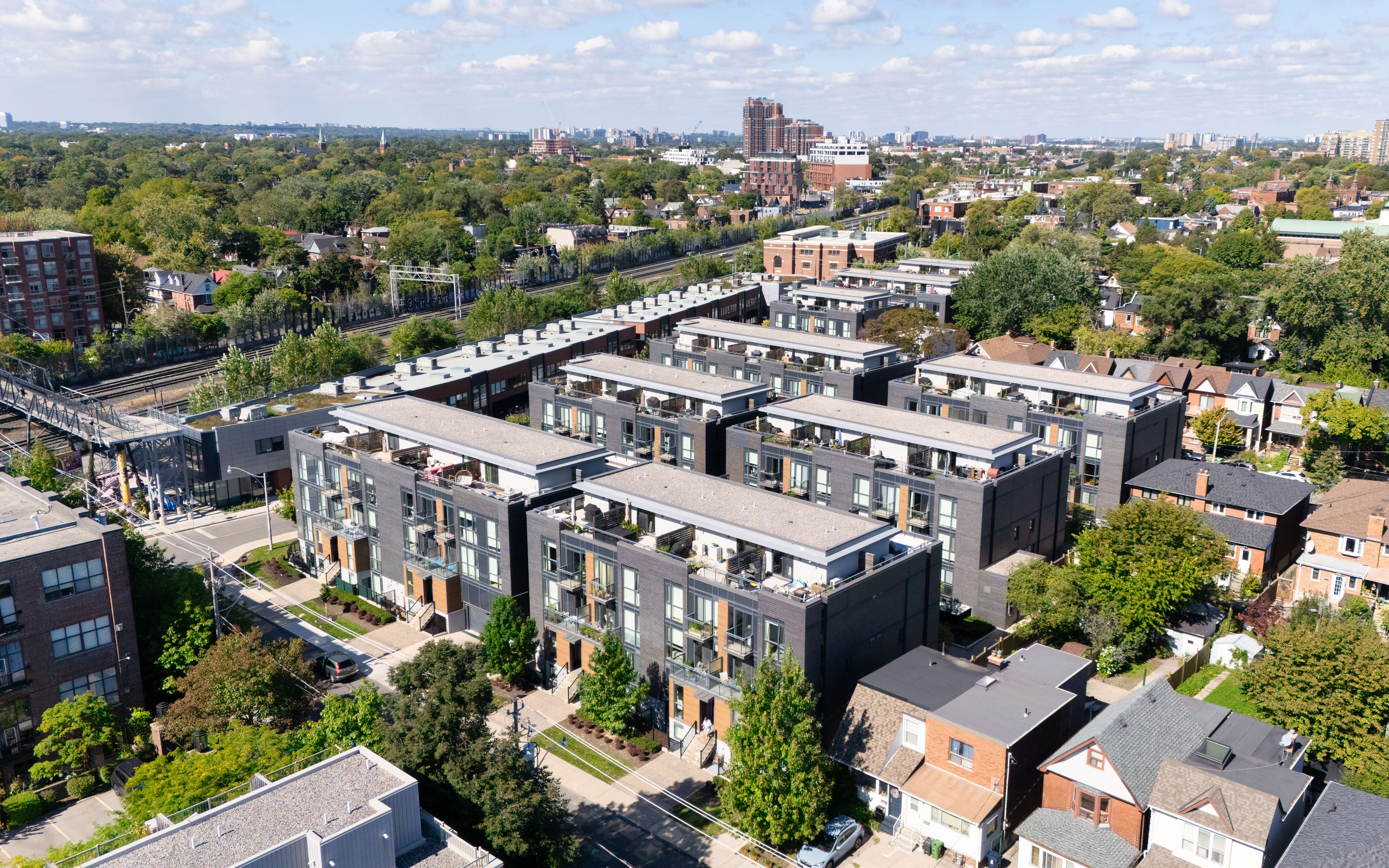
The housing in Junction Triangle is diverse, ranging from charming Victorian-style homes to modern townhouses and loft conversions. Many of the industrial buildings have been repurposed into trendy living spaces, attracting young professionals and creatives. The mix of older homes with new developments ensures that there’s something for every type of buyer, whether you’re looking for a historic home with character or a sleek, contemporary loft. Prices in the area remain competitive, making it an attractive option for those looking to invest in a rapidly evolving neighbourhood.
Junction House (c) Photo by SHANE Maps exclusively for SHANE Maps
Wallace Walk (c) Photo by SHANE Maps exclusively for SHANE Maps
DUKE Condos (c) Photo by SHANE Maps exclusively for SHANE Maps
Brownstones on Wallace (c) Photo by SHANE Maps exclusively for SHANE Maps
Arch Lofts (c) Photo by SHANE Maps exclusively for SHANE Maps
Lifestyle in Junction Triangle
The lifestyle in Junction Triangle is urban and eclectic, offering a strong sense of community with a modern twist. Residents can enjoy the area’s growing arts scene, local breweries, and independent shops. The neighbourhood has a laid-back, family-friendly vibe, with plenty of local events that bring the community together. Trendy cafes and restaurants are abundant, and the proximity to High Park provides even more options for outdoor recreation. The West Toronto Railpath offers a scenic route for cyclists and pedestrians, contributing to the active and outdoor lifestyle enjoyed by residents.
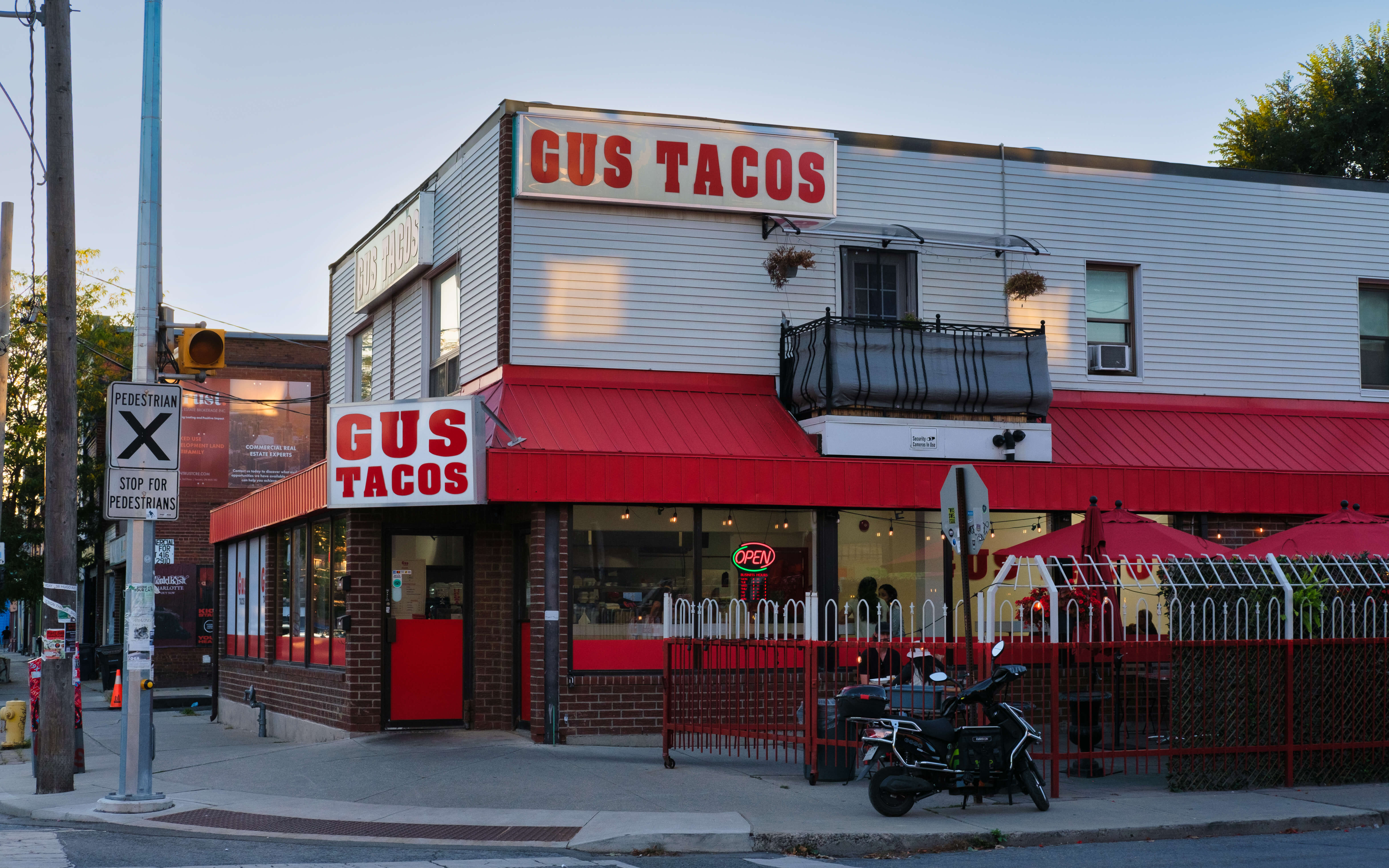
Gus Tacos (c) Photo by SHANE Maps exclusively for SHANE Maps
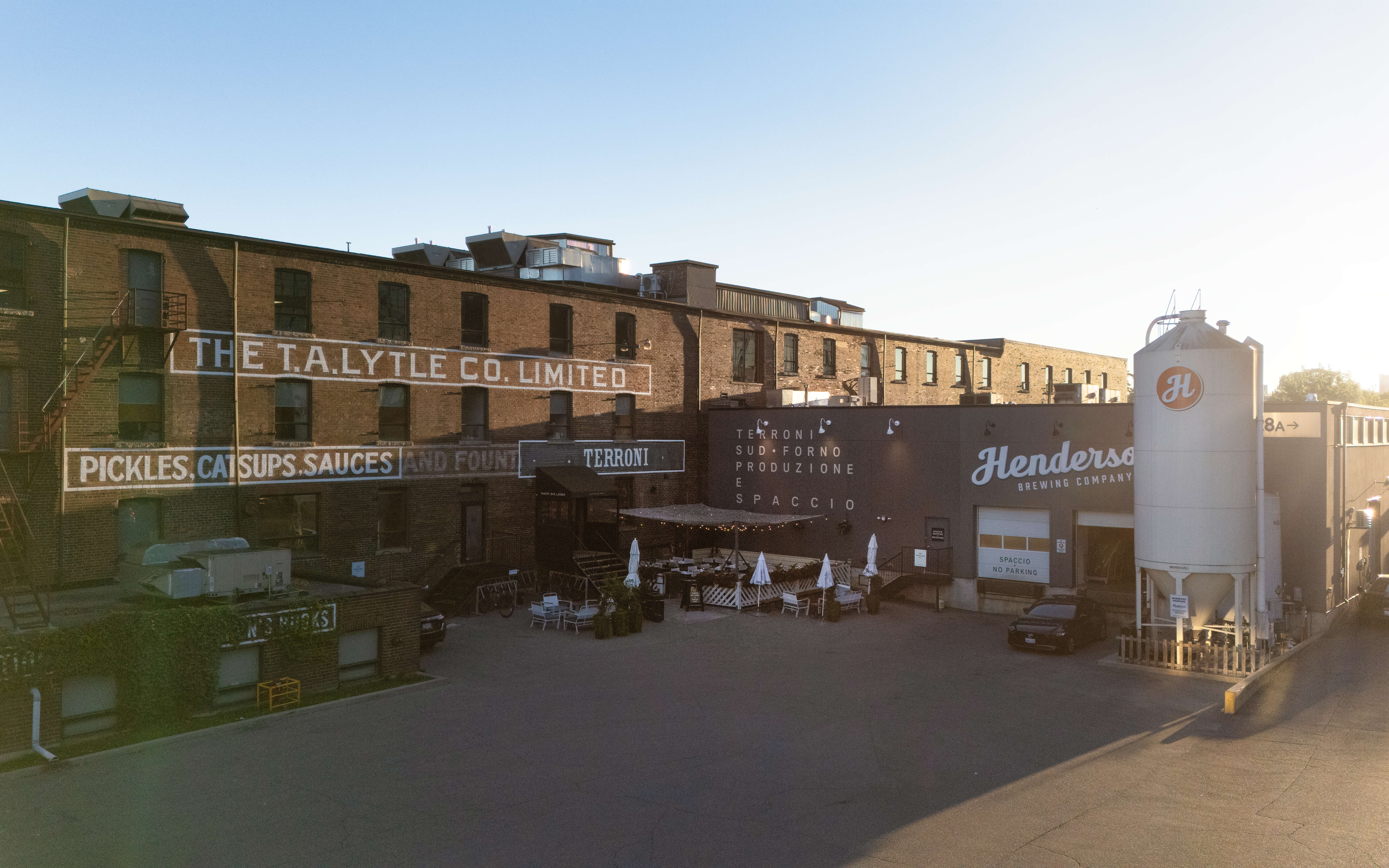
Terrain / Sapccio (c) Photo by SHANE Maps exclusively for SHANE Maps
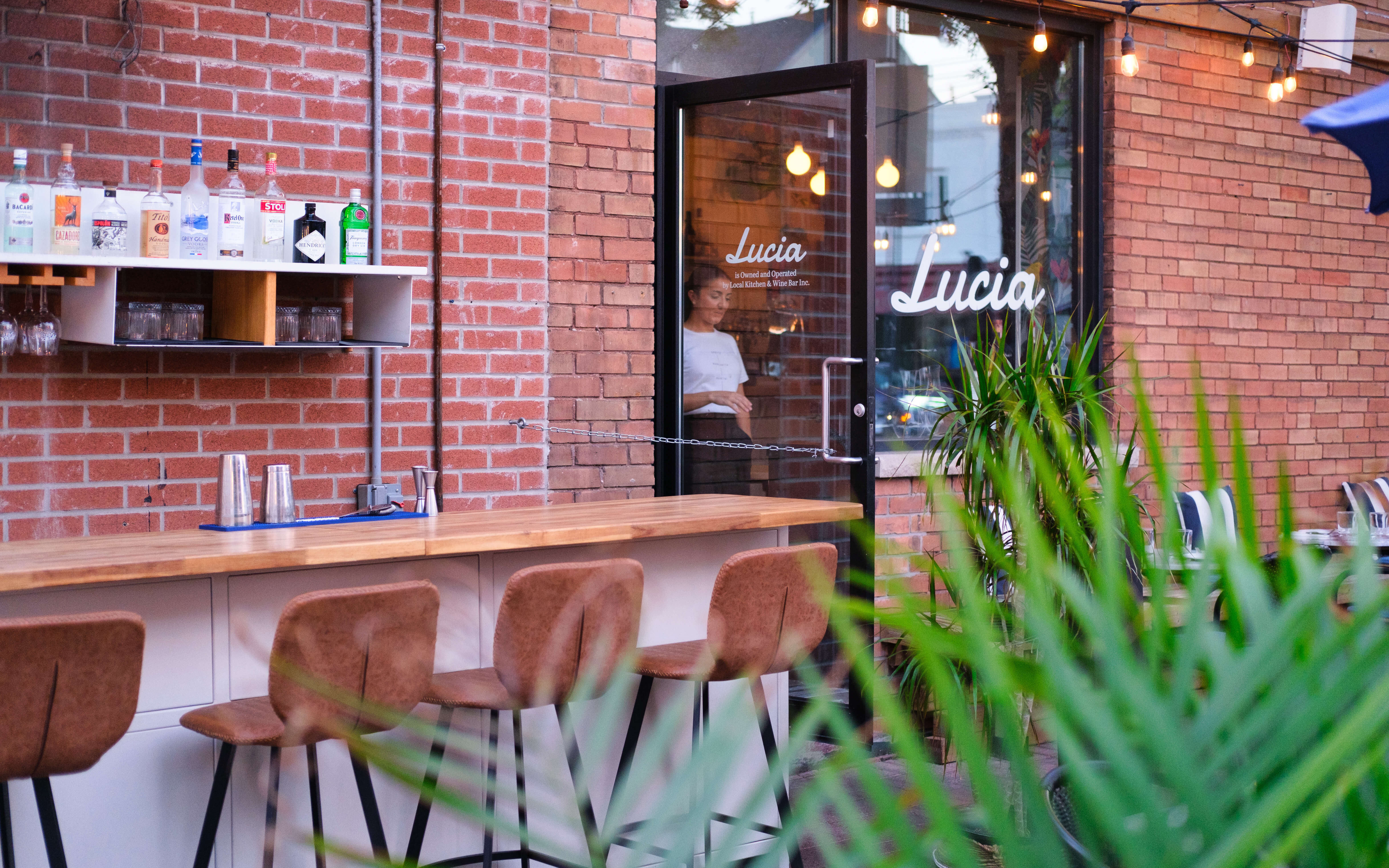
Lucia (c) Photo by SHANE Maps exclusively for SHANE Maps
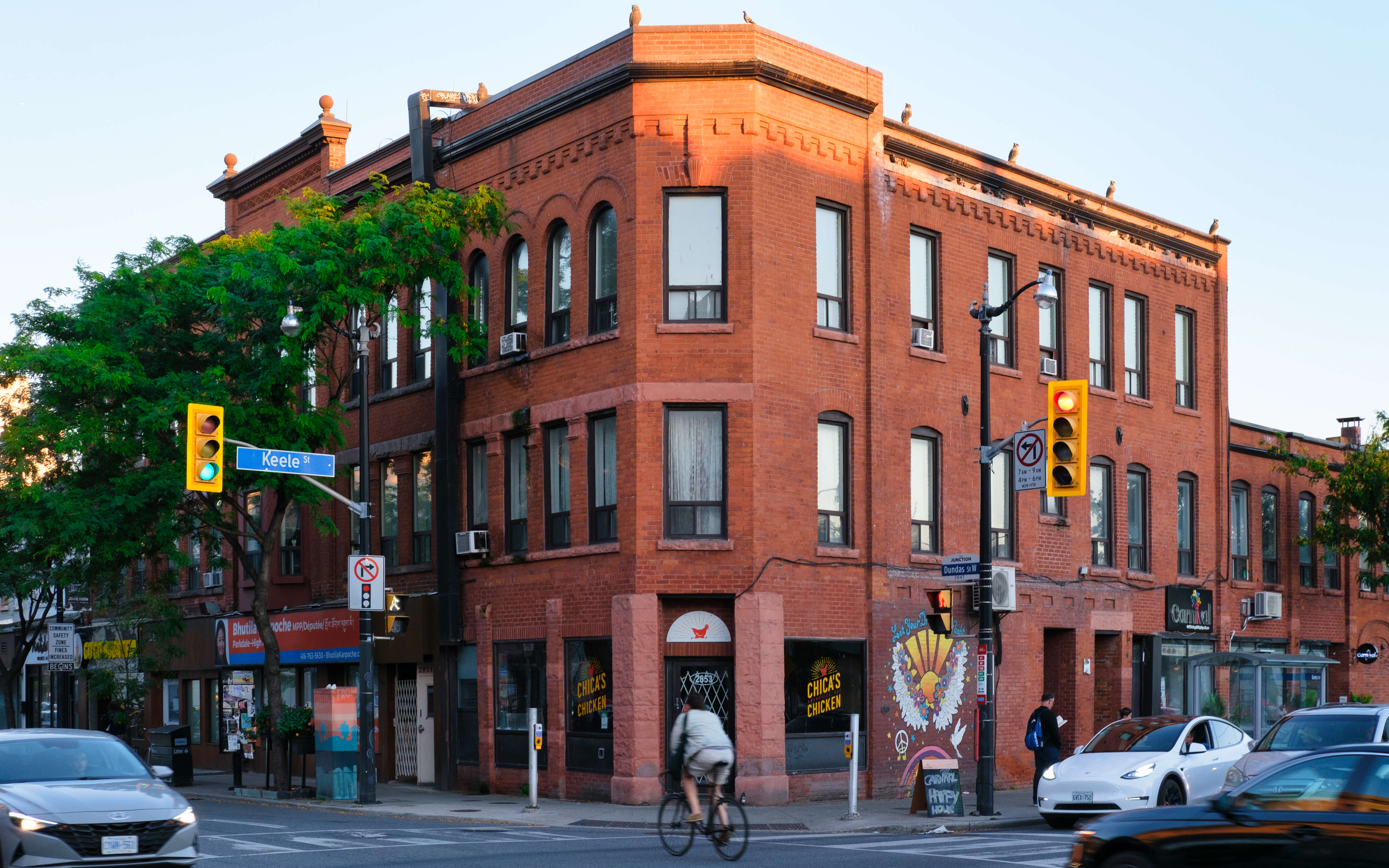
Chica’s Chicken (c) Photo by SHANE Maps exclusively for SHANE Maps
Recreation in Junction Triangle
For outdoor enthusiasts, Junction Triangle offers a wealth of recreational opportunities. The neighbourhood is home to several parks, including Campbell Park and Perth Square Park, which are popular spots for picnics, sports, and community events. The nearby West Toronto Railpath is a favourite among cyclists and joggers, providing a green corridor through the neighbourhood and beyond. High Park, with its expansive trails, zoo, and sports facilities, is just a short distance away, offering even more opportunities for nature lovers. Families will find plenty of spaces for children to play, and those with an interest in fitness can take advantage of local gyms and community centres.
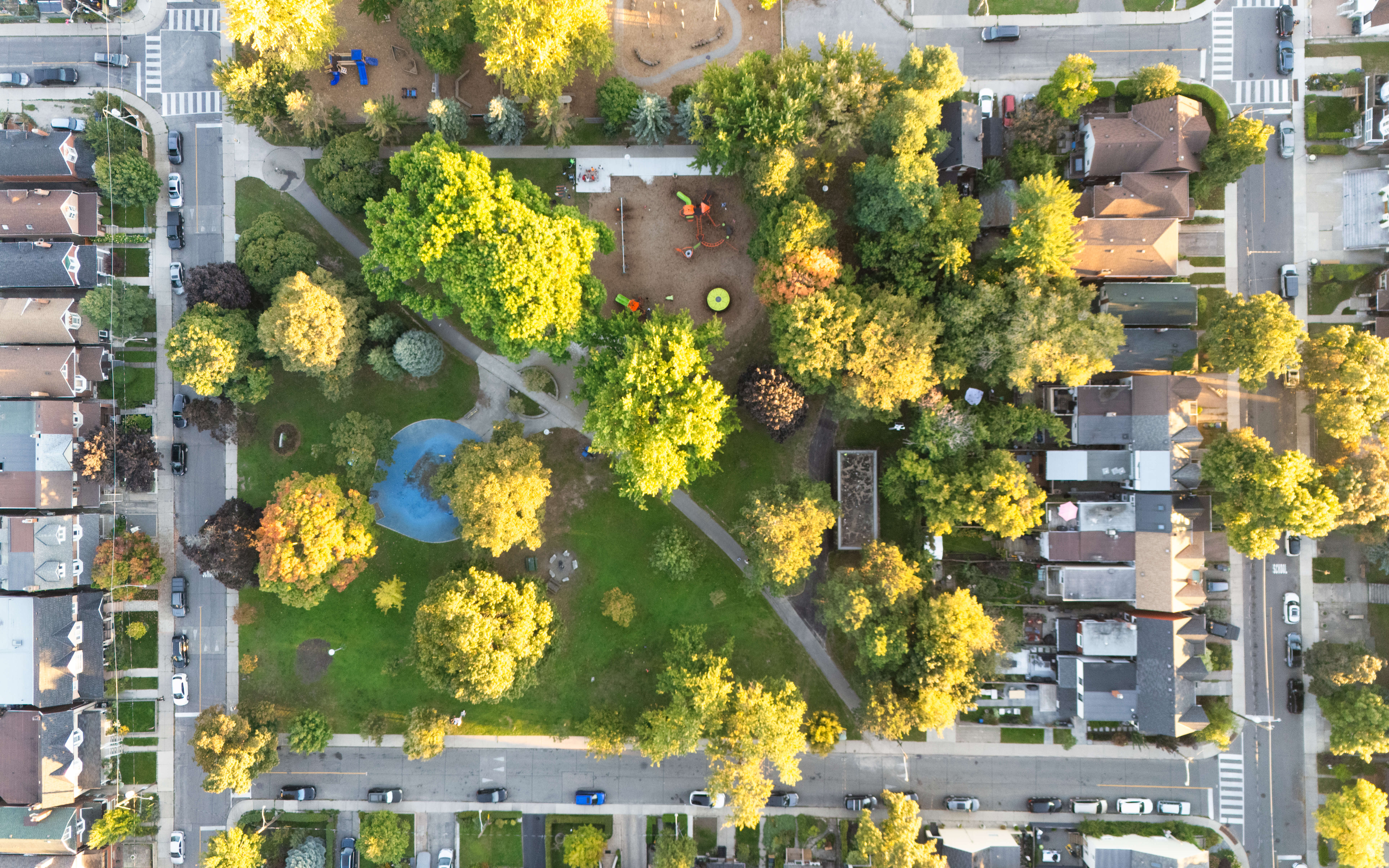
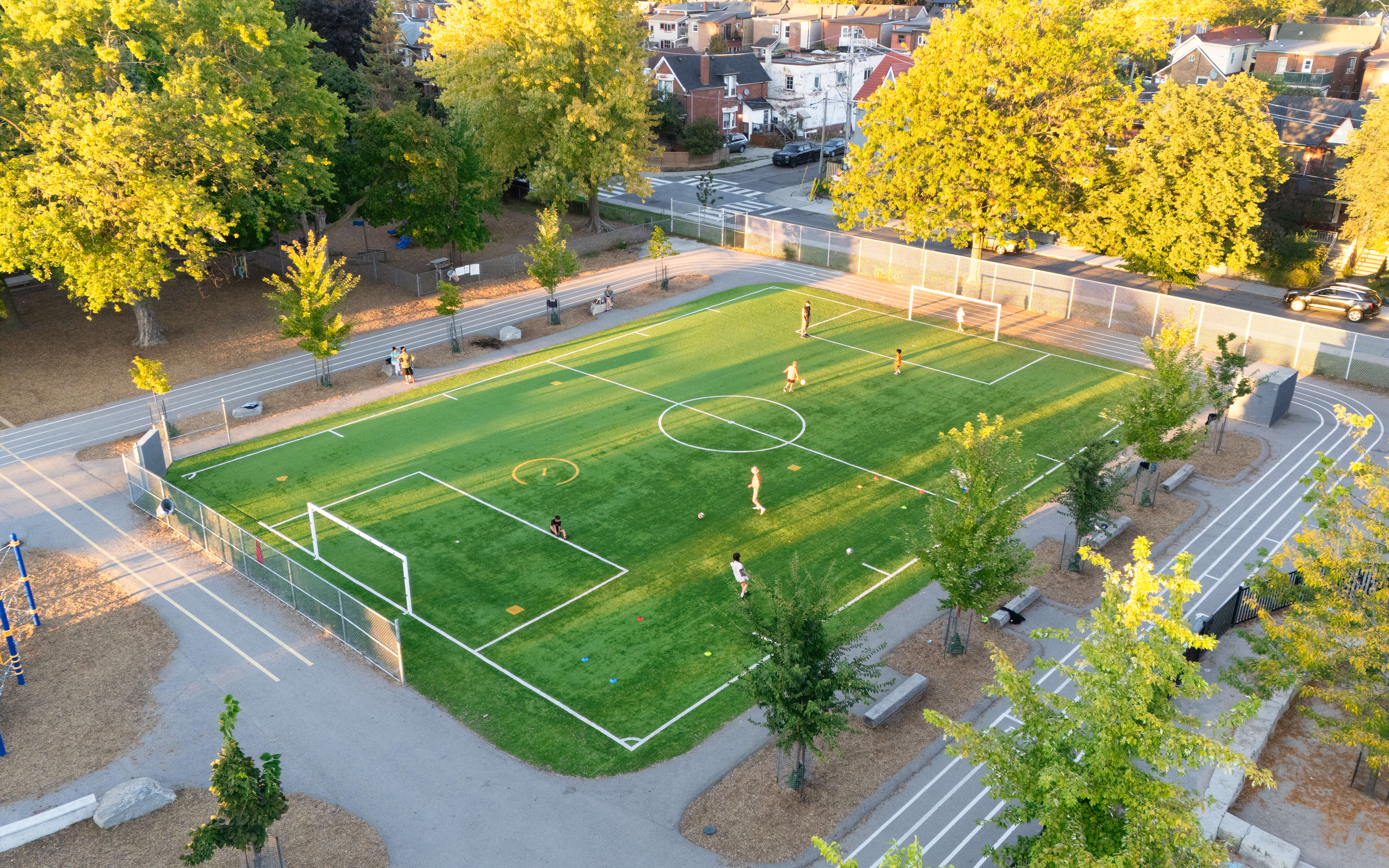
Perth Square Park (c) Photo by SHANE Maps exclusively for SHANE Maps
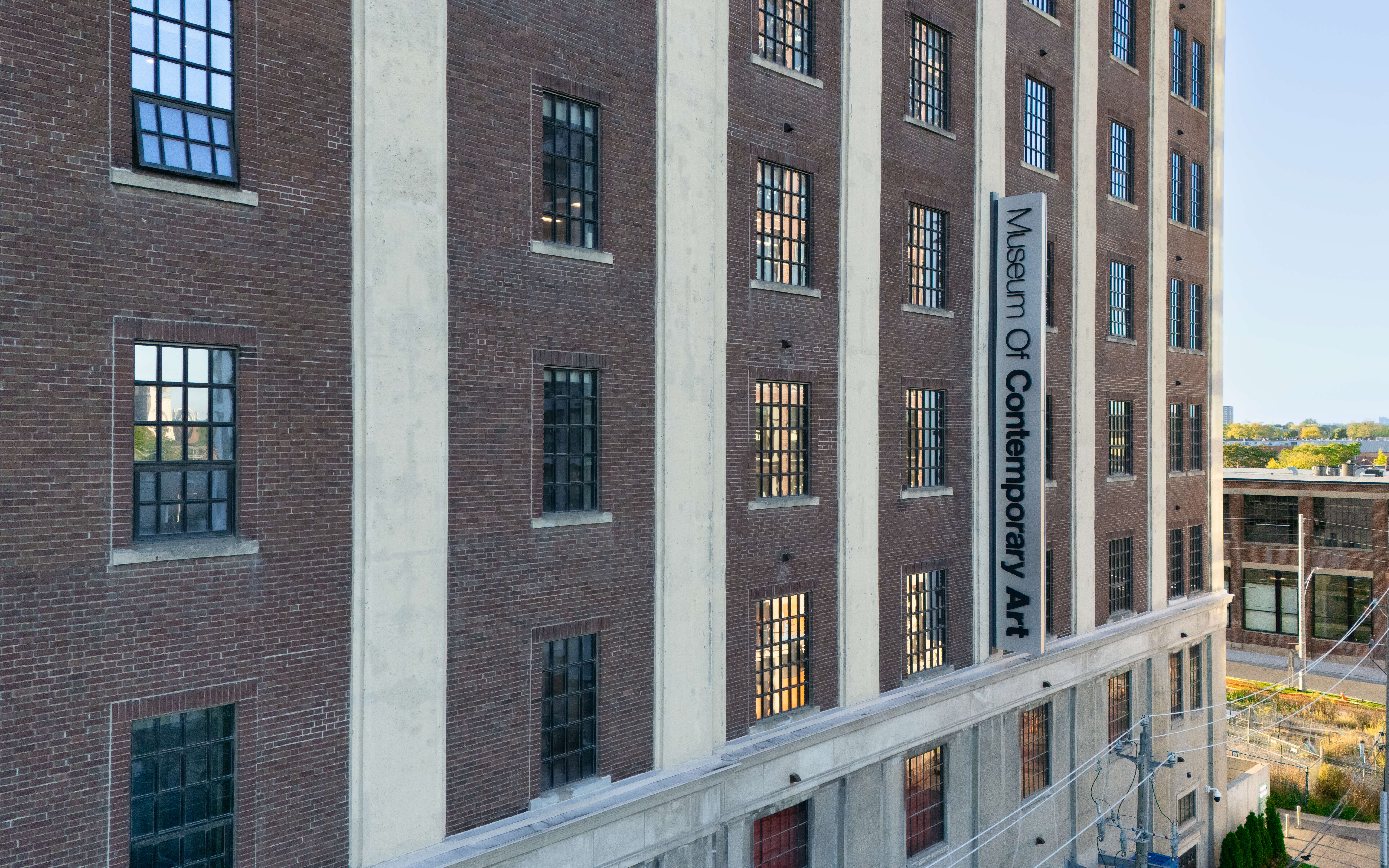
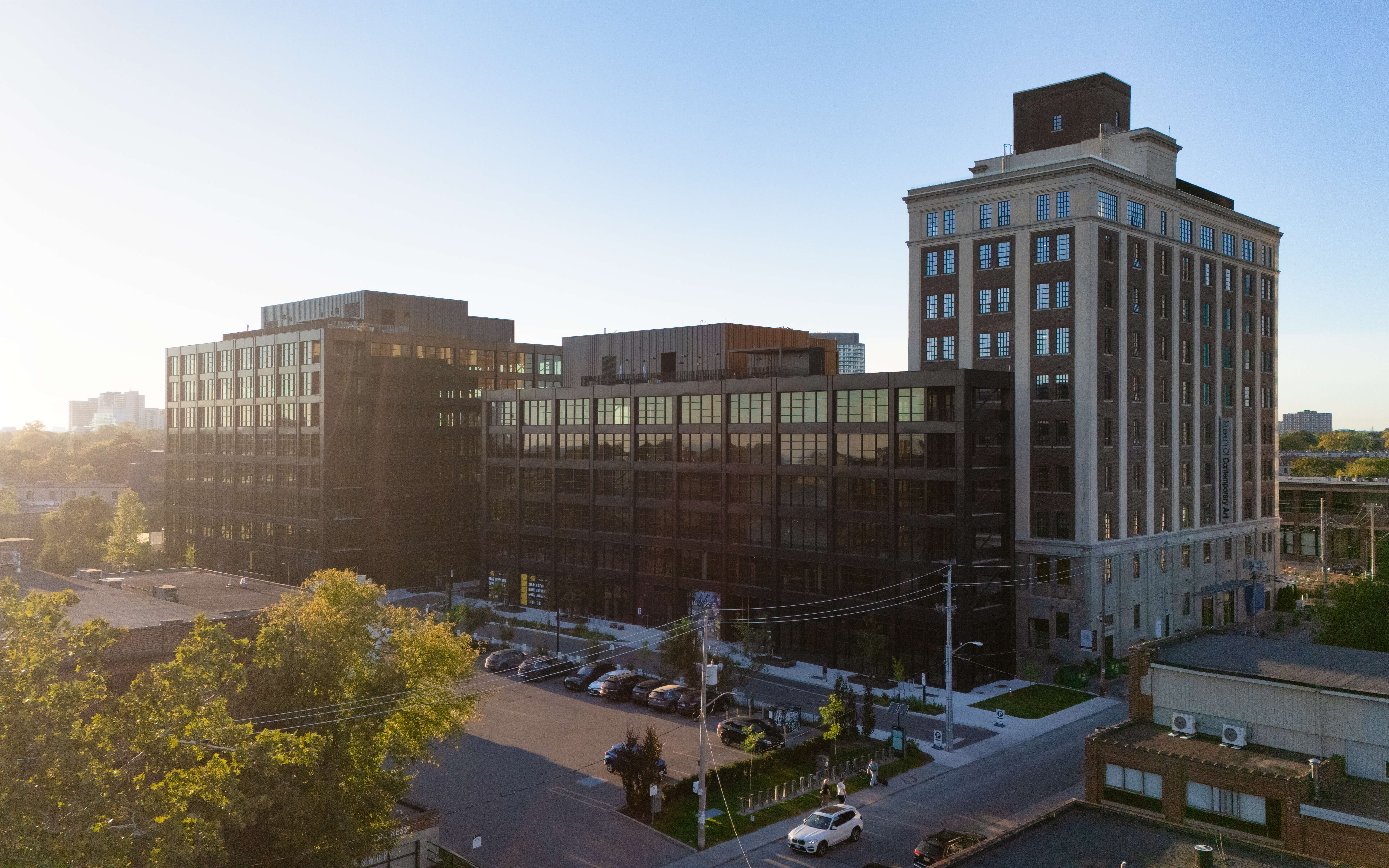
Museum of Contemporary Art (c) Photo by SHANE Maps exclusively for SHANE Maps
St. Luigi Catholic School (c) Photo by SHANE Maps exclusively for SHANE Maps
Transportation in Junction Triangle
Junction Triangle is well-connected, making it easy to travel throughout the city. The neighbourhood is served by the Bloor GO Station, the UP Express, and Dundas West subway station, providing quick and convenient access to downtown Toronto, Pearson Airport, and other key areas. Streetcars and buses also run frequently, ensuring residents have multiple public transportation options. For those who prefer cycling or walking, the West Toronto Railpath is a scenic and direct route to nearby areas, further enhancing the neighbourhood’s connectivity. High Park is just a short trip away, perfect for those who love to explore one of Toronto’s premier outdoor spaces.
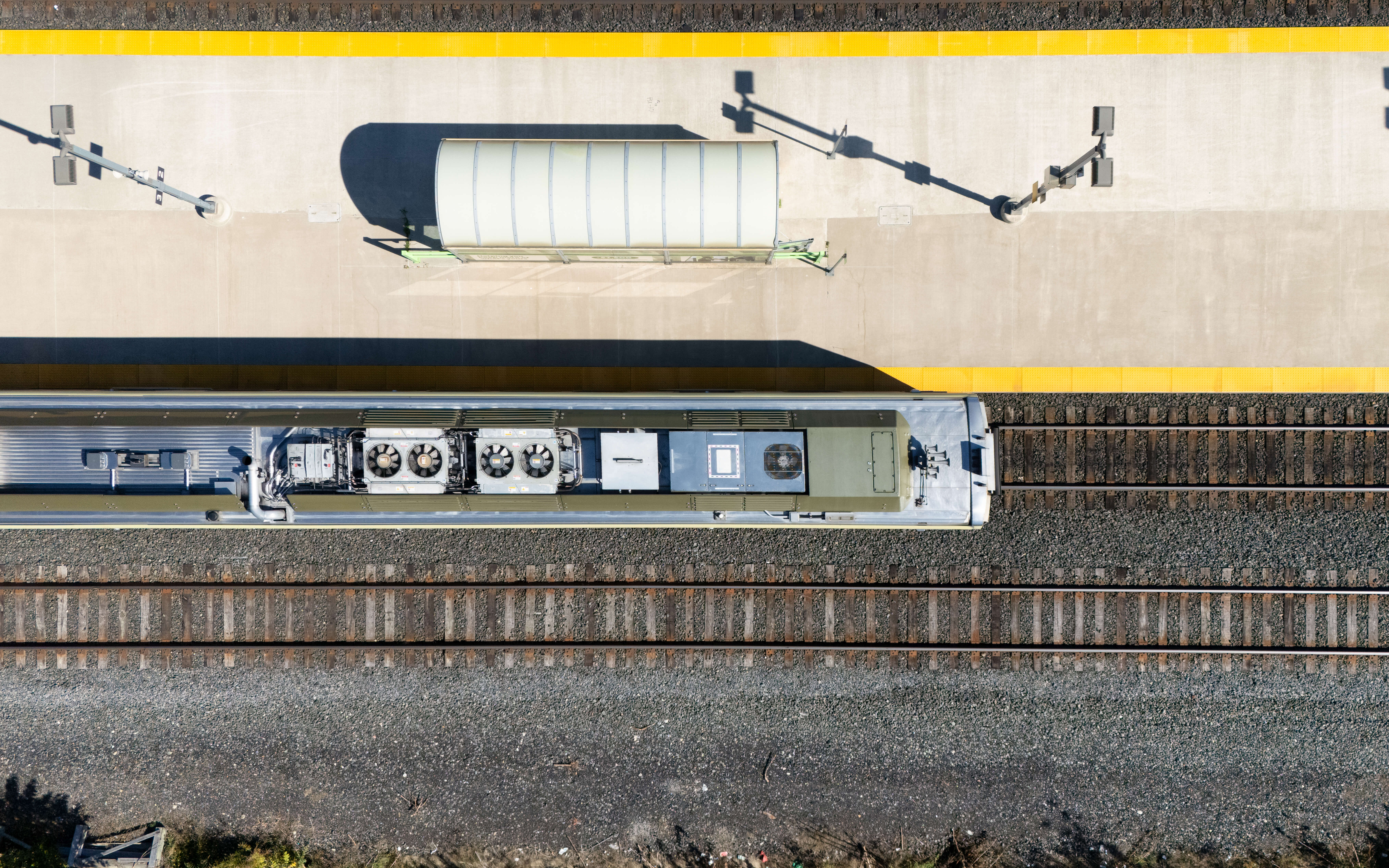
Up Express / Bloor Go (c) Photo by SHANE Maps exclusively for SHANE Maps
