
Living in Caribou Park
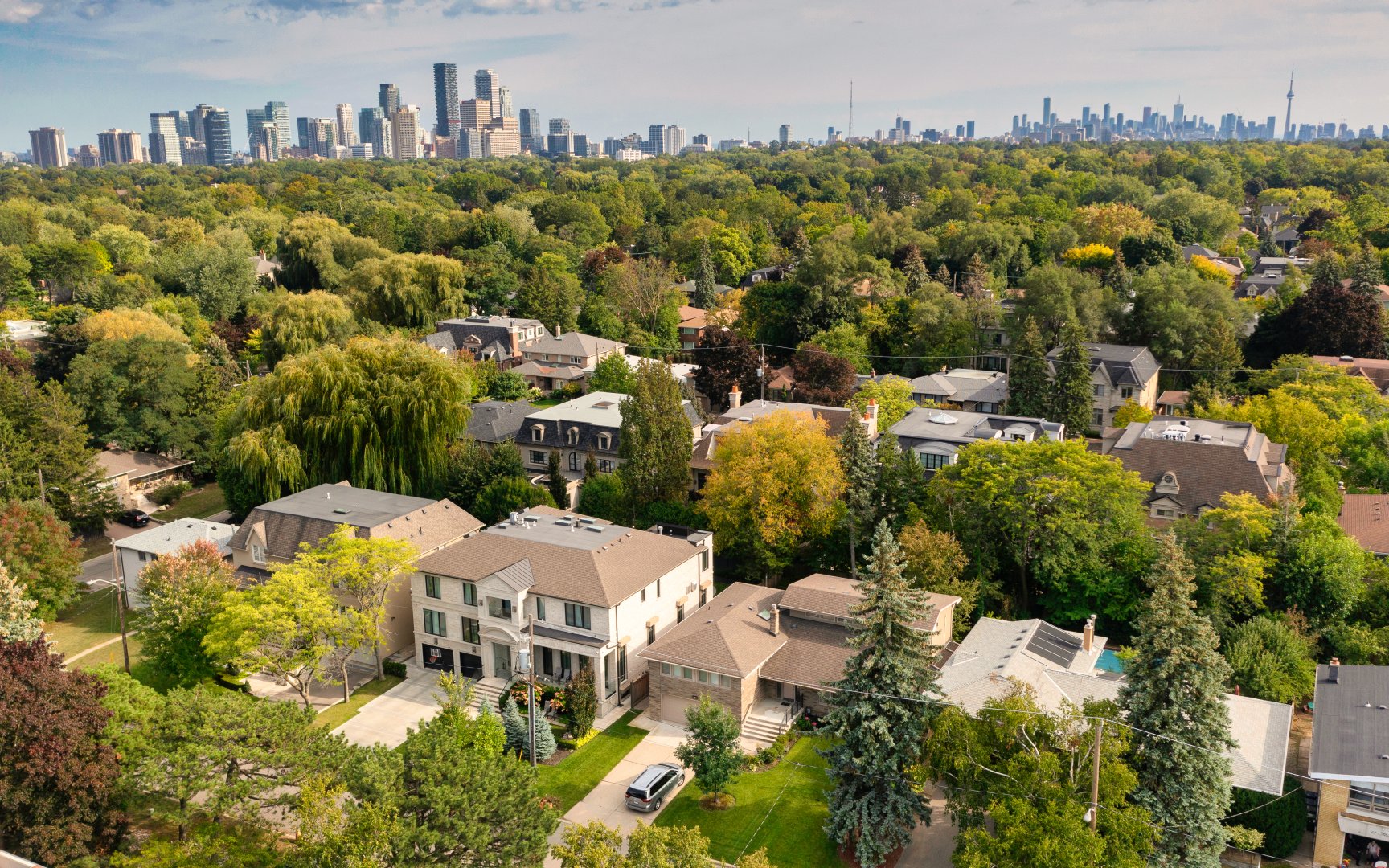
Caribou Park is quiet enclave tucked away south of Lawrence Avenue and west of Avenue Road. This bucolic setting features a rustic streetscape with no sidewalks. The streets are shaded by majestic trees. Otter Creek winds its way through the backyards of many of the homes in the neighbourhood. This neighbourhood is a short walk to the Avenue Road shopping district, as well as Otter Creek park, and a plethora of public and private schools. The Yonge Lawrence subway station is a fifteen minute walk or a five minute bus ride. Highway 401 is five minutes north by car and downtown Toronto is just 15 minutes south by car.
Stormont Ave (c) Photos by SHANE Maps exclusively for SHANE Maps.
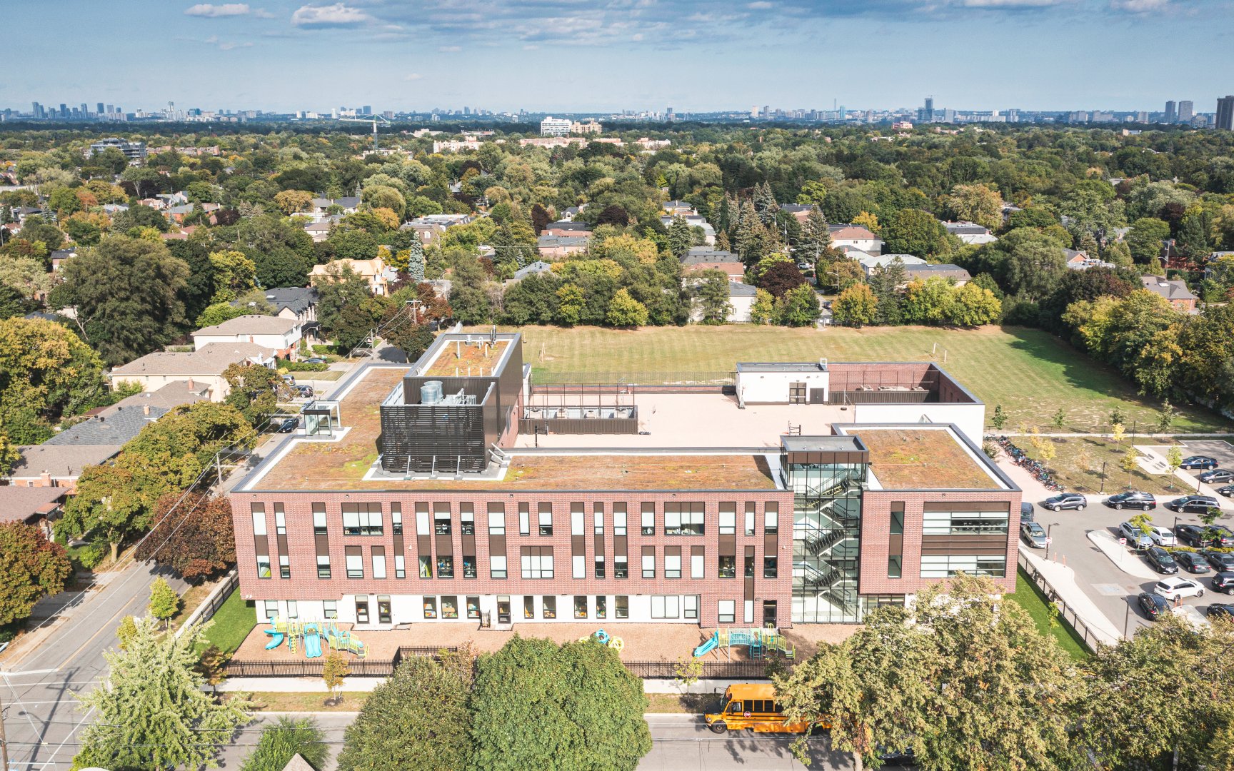
Yeshiva Yesodei Hatorah (c) Photos by SHANE Maps exclusively for SHANE Maps.
Homes in Caribou Park
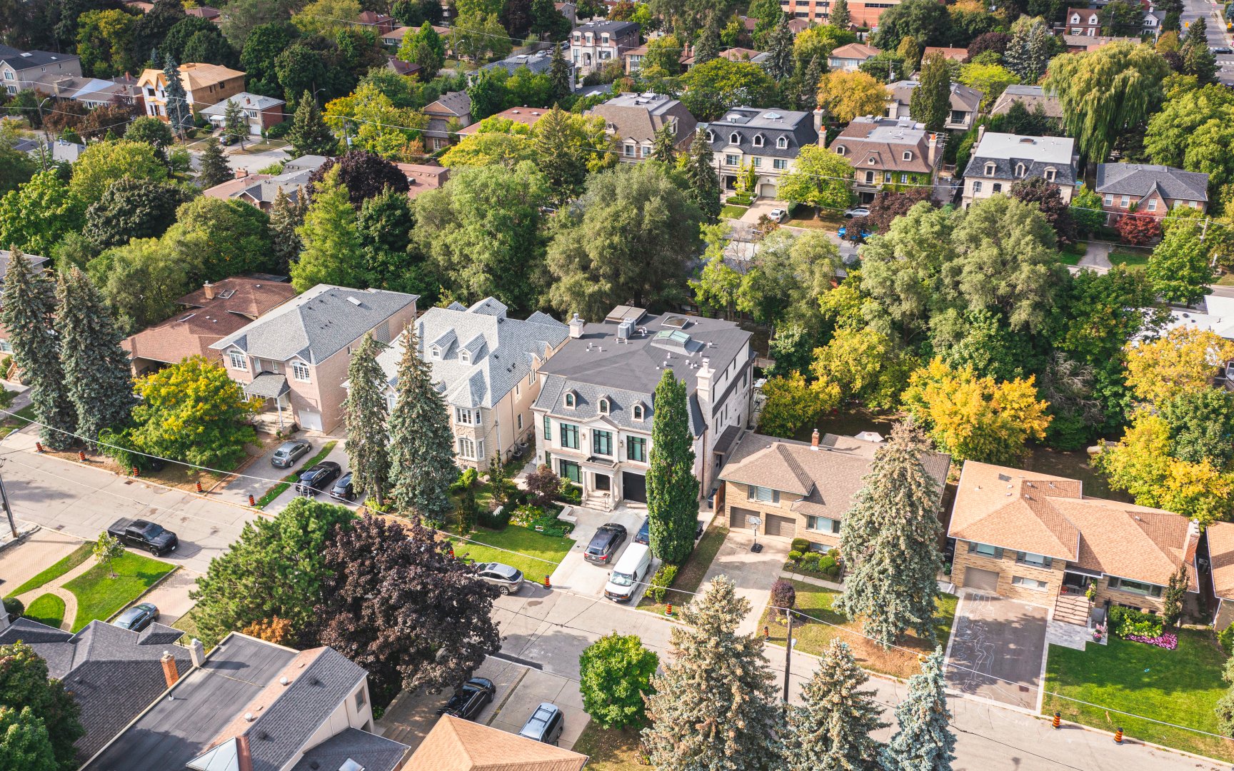
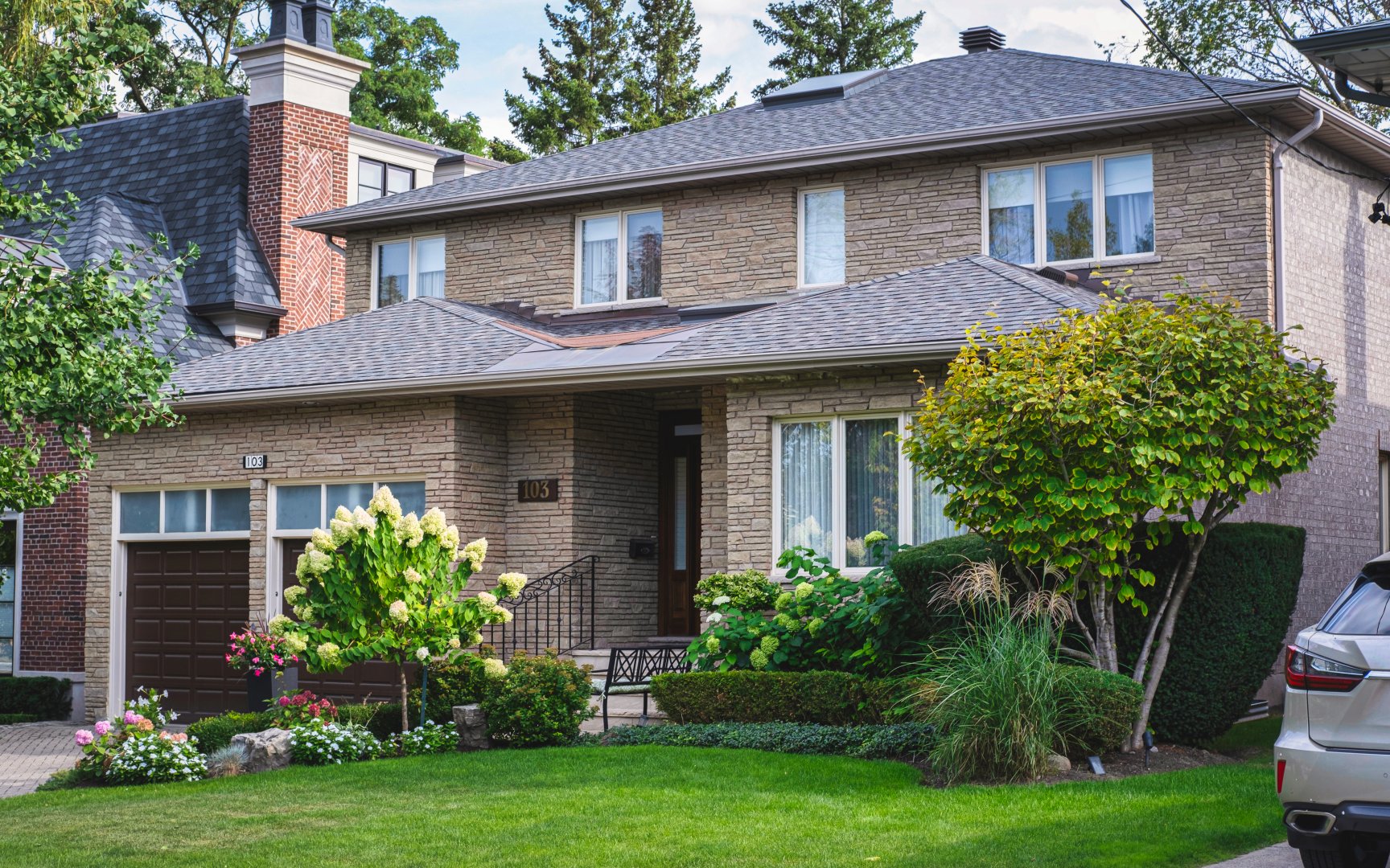
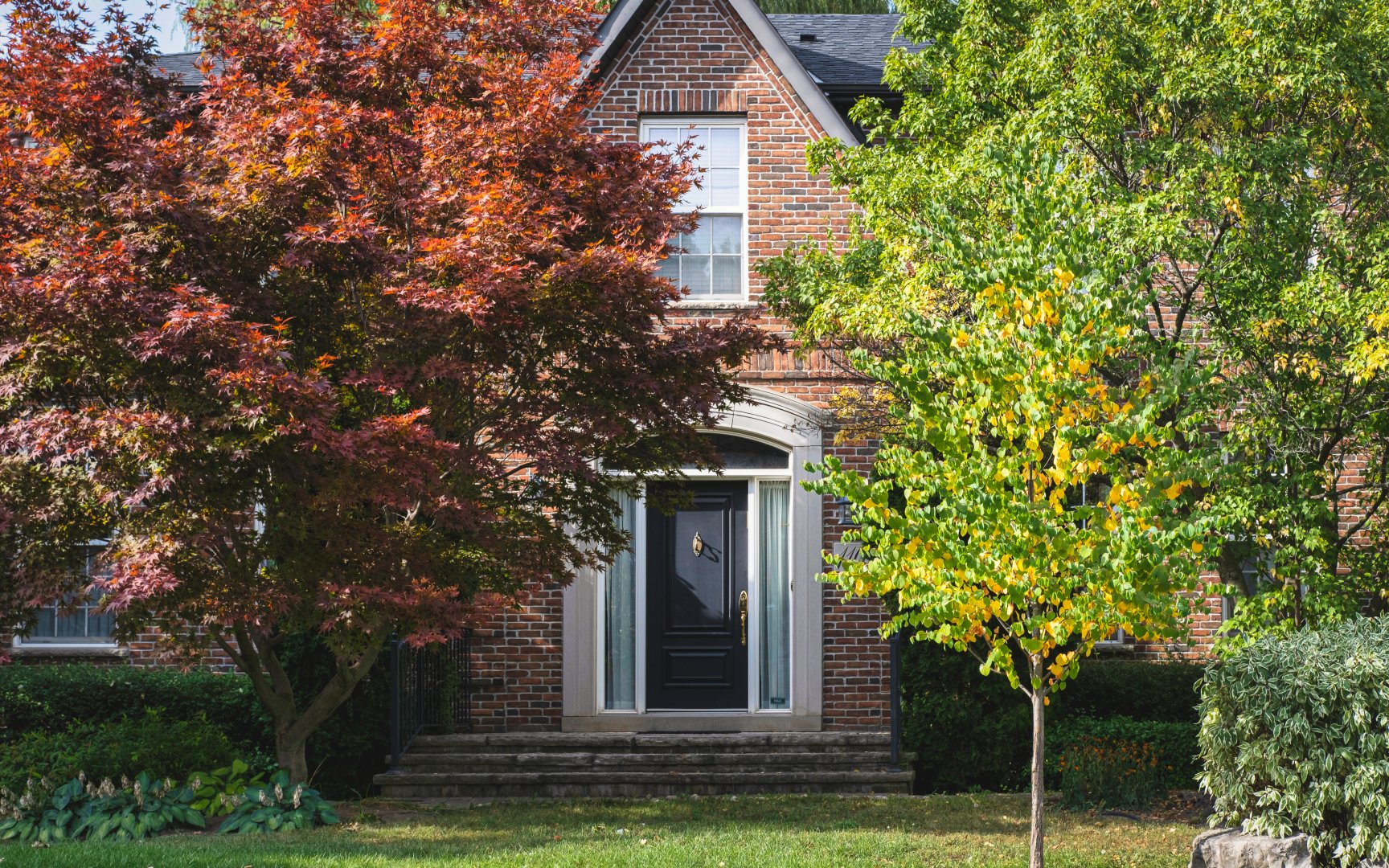
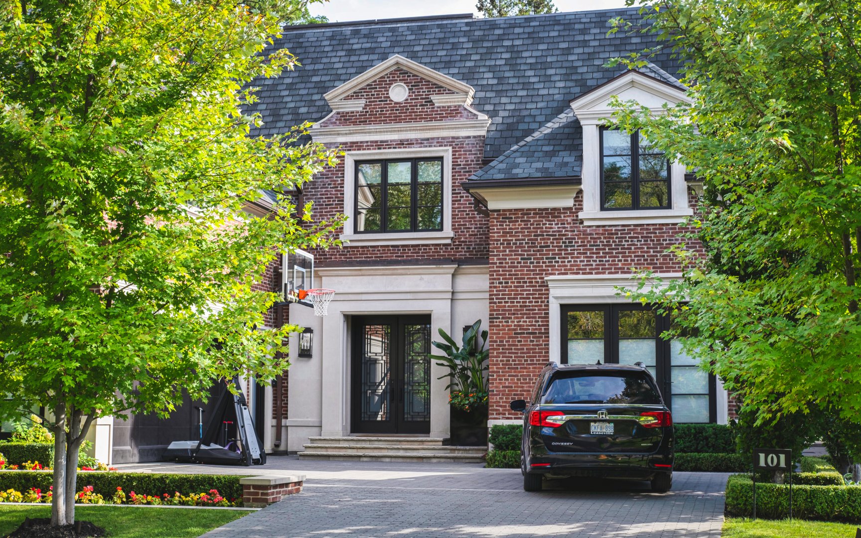
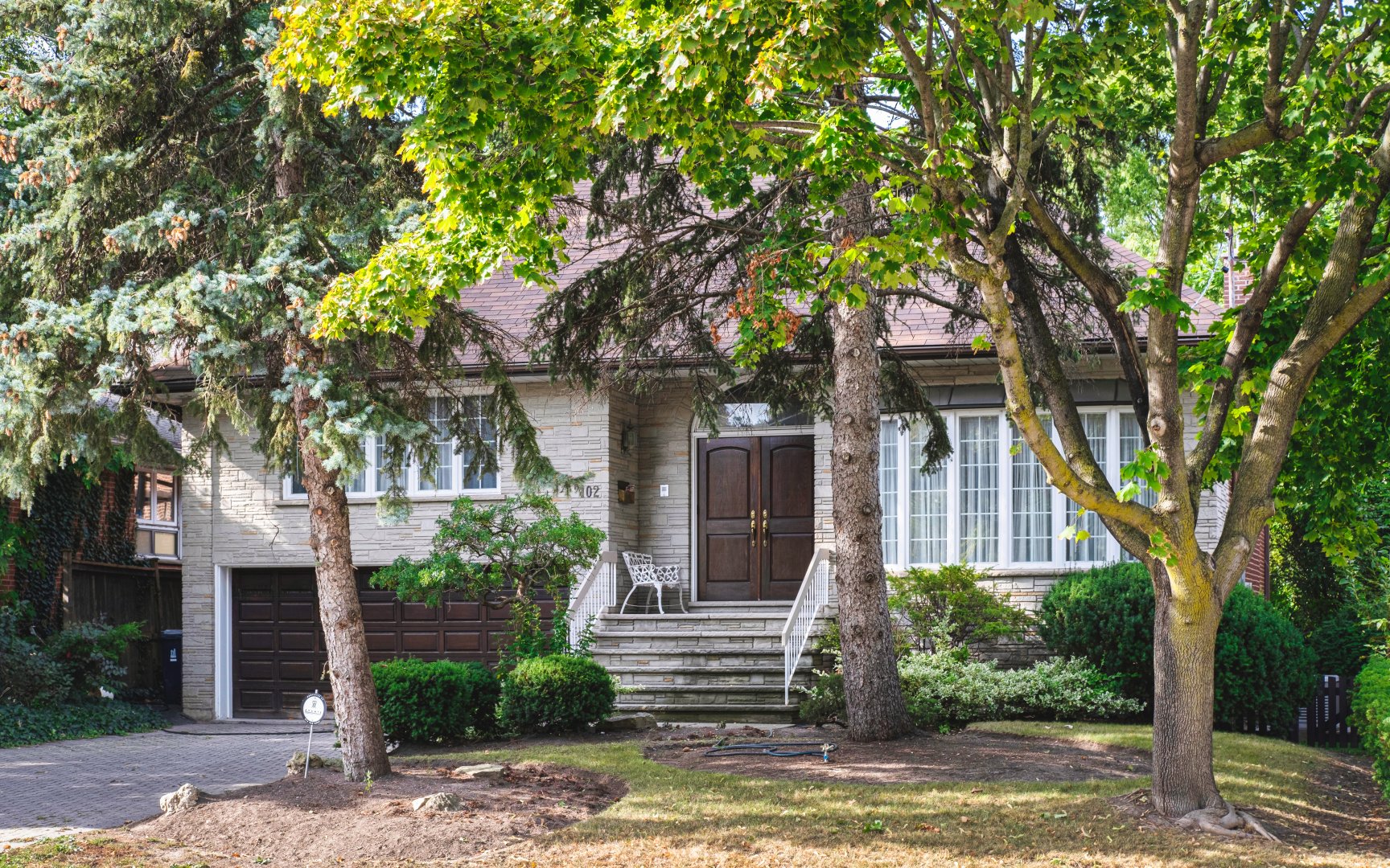
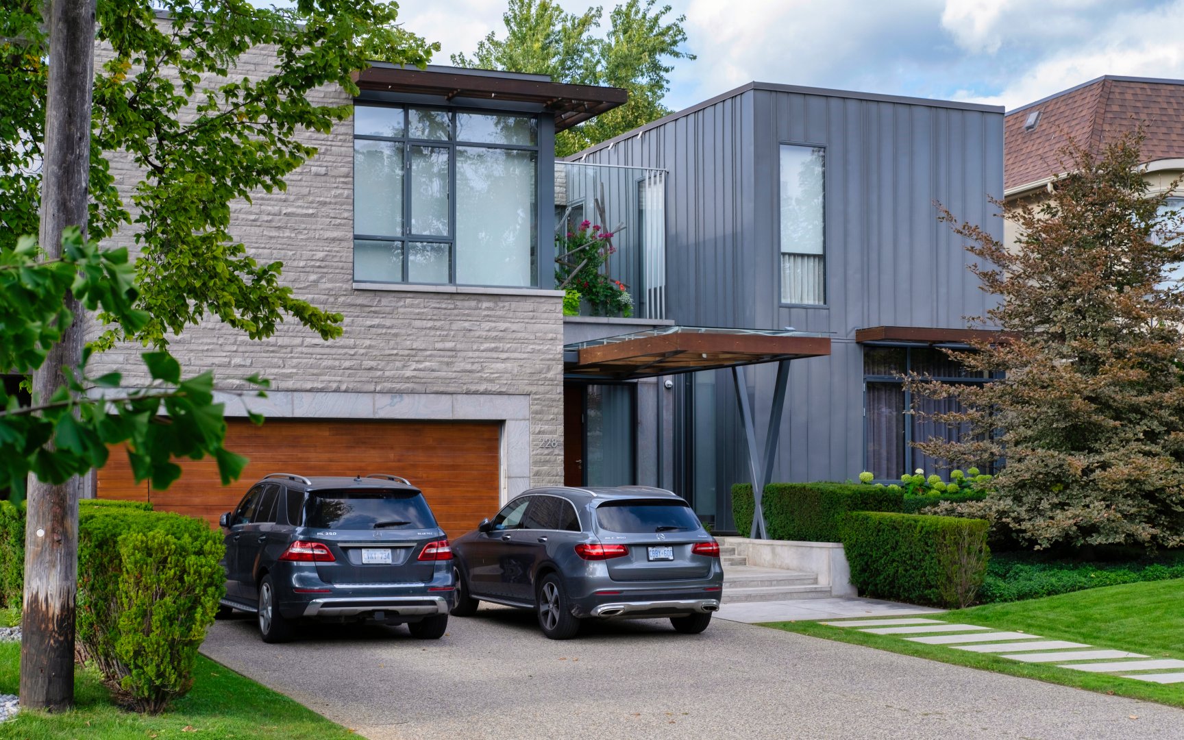
Caribou Park has two very distinct residential pockets. The Georgian, Tudor, and English Cottage style houses closer to Avenue Road and east of Caribou Park were built in the 1930’s and 1940’s. The houses along Otter Crescent that back onto the ravine and the Otter Creek are generally situated on premium lots that command the highest prices in the neighbourhood. The split-level houses and ranch style bungalows located west of Caribou Park and closer to Bathurst Street were built in the 1950’s and 1960’s. Some of these houses have been replaced by modern custom built homes. Many of the homeowners in this area are members of Toronto’s Jewish orthodox community that is centred along Bathurst Street.

Coldstream Ave (c) Photos by SHANE Maps exclusively for SHANE Maps.
Frontenac Ave (c) Photos by SHANE Maps exclusively for SHANE Maps.
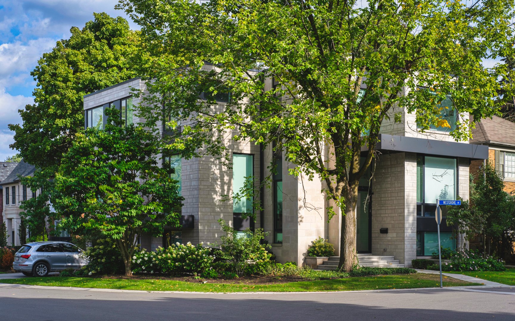
Westgrove Cr (c) Photos by SHANE Maps exclusively for SHANE Maps.
Caribou Rd (c) Photos by SHANE Maps exclusively for SHANE Maps.
Caribou Rd (c) Photos by SHANE Maps exclusively for SHANE Maps.
Caribou Rd (c) Photos by SHANE Maps exclusively for SHANE Maps.
Caribou Rd (c) Photos by SHANE Maps exclusively for SHANE Maps.
Coldstream Ave (c) Photos by SHANE Maps exclusively for SHANE Maps.
Lifestyle in Caribou Park
Caribou Park residents enjoy the luxury of being able to walk to the popular shops and restaurants on Avenue Road, north of Lawrence Avenue. This shopping district is anchored by the Pusateri’s Food shop which attracts shoppers from all over the city. The mix of stores along Avenue Road includes children’s shops, home decorating and furniture stores, clothing stores, antique shops, two large video rental stores, and family style restaurants. Caribou Park residents can also walk to the Bathurst and Lawrence shopping district which is anchored by the Lawrence Plaza at the north-west corner of Bathurst and Lawrence. This shopping plaza attracts shoppers from far and wide to its outstanding collection of discount and outlet stores. Bathurst Street itself contains many fine Jewish food shops and bakeries featuring some of the finest bagels in town.
Recreation in Caribou Park
The Caribou neighbourhood park is conveniently located right in the centre of this neighbourhood off Caribou Drive. This park features a popular children’s playground. Otter Creek Park is located just east of Avenue Road off Cheritan Avenue. This fitness oriented park includes four tennis courts that are retrofitted for use as an artificial ice rink in the wintertime. Otter Creek also provides access to the Chatsworth ravine which contains a nature trail. The ultra-modern Barbara Frum Public Library at 20 Covington Road includes a children’s storyroom, French and multicultural collections, and an auditorium with a 150 person seating capacity. This library is combined with a 10,000 square foot recreation centre that contains multi-purpose rooms, a kitchen/craft room and meeting rooms.
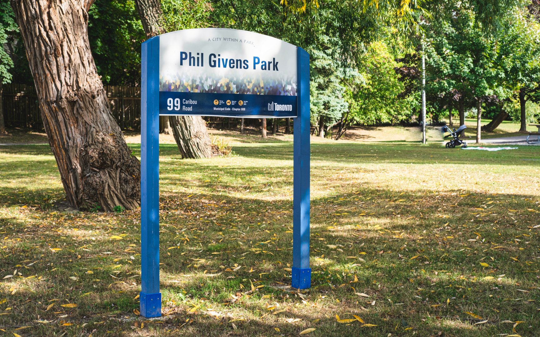
Phil Givens Park (c) Photos by SHANE Maps exclusively for SHANE Maps.
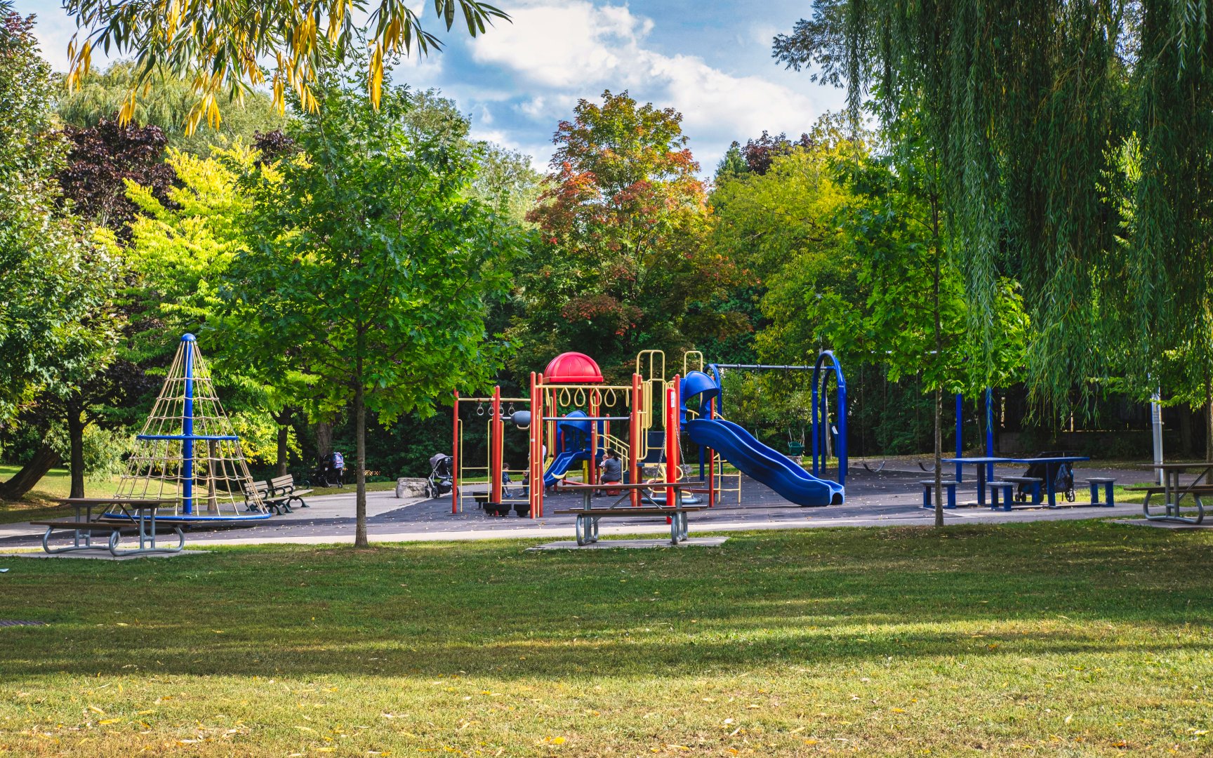
Phil Givens Park (c) Photos by SHANE Maps exclusively for SHANE Maps.
Transportation in Caribou Park
Caribou Park is a centrally located neighbourhood that is well served by public transit. The Lawrence and Avenue Road buses connect passengers to stations on the Yonge-University-Spadina subway line. The Lawrence subway station is within walking distance for those seeking a bit of exercise. Avenue Road provides motorists with a direct route downtown in approximately twenty minutes. A five minute drive north on Avenue Road will link commuters to Highway 401.